


The New York Times published an interactive map that shows how important distance is in determining connections on social media.

New research published in the Journal of Economic Perspectives examines microdata from Facebook to ask questions about what social networks reveal about social connectedness between individuals and across regions.
Emily Badger and Quoctrong Bui share the news of the study, noting its findings about the importance of geographic distance in determining social connectedness.
"America is often described as a place of great divides — between red and blue, big cities and rural towns, the coasts and the heartland," they write. "But our social lives are shaped by a much stronger force that ignores many of these lines: distance."
The real fun of this article is found in an interactive map that illustrates the likelihood that people living in each U.S. county will have a Facebook friendship in any other part of the country. The article offers insight into some of the trends visible in the map.
FULL STORY: How Connected Is Your Community to Everywhere Else in America?


Friday Eye Candy: A Sorely-Needed Map of New York City Neighborhoods
Neighborhoods don't get the same official boundaries as cities, counties, states, and countries. So how do we know where one neighborhood ends and another begins?
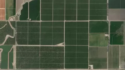
Facebook AI Maps Population Density
Facebook expects to release its worldwide maps of human density in the coming months—potential applications will likely be somewhere on the spectrum between humanitarian and commercial.

Friday Eye Candy: The World's Subway Systems, If You Could See Them From Above
Have you ever flown over a city and imagined all the subway lines running beneath the surface?

Planetizen Federal Action Tracker
A weekly monitor of how Trump’s orders and actions are impacting planners and planning in America.

Maui's Vacation Rental Debate Turns Ugly
Verbal attacks, misinformation campaigns and fistfights plague a high-stakes debate to convert thousands of vacation rentals into long-term housing.

Restaurant Patios Were a Pandemic Win — Why Were They so Hard to Keep?
Social distancing requirements and changes in travel patterns prompted cities to pilot new uses for street and sidewalk space. Then it got complicated.

In California Battle of Housing vs. Environment, Housing Just Won
A new state law significantly limits the power of CEQA, an environmental review law that served as a powerful tool for blocking new development.

Boulder Eliminates Parking Minimums Citywide
Officials estimate the cost of building a single underground parking space at up to $100,000.

Orange County, Florida Adopts Largest US “Sprawl Repair” Code
The ‘Orange Code’ seeks to rectify decades of sprawl-inducing, car-oriented development.
Urban Design for Planners 1: Software Tools
This six-course series explores essential urban design concepts using open source software and equips planners with the tools they need to participate fully in the urban design process.
Planning for Universal Design
Learn the tools for implementing Universal Design in planning regulations.
Heyer Gruel & Associates PA
JM Goldson LLC
Custer County Colorado
City of Camden Redevelopment Agency
City of Astoria
Transportation Research & Education Center (TREC) at Portland State University
Jefferson Parish Government
Camden Redevelopment Agency
City of Claremont