


Maps
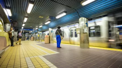
Coming Soon: A New Transit Map for Philadelphia
Transit is getting a new look.

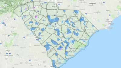
Monday Map: Water Infrastructure in New Orleans
The Sewerage & Water Board of New Orleans has launched its first public dashboards to track its operations and initiatives.

Analyzing Lynch's City Imageability in the Digital Age
Mahbubur Meenar of Rowan University writes about a recent article he co-authored in the Journal of Planning Education and Research

The Noisiest Places Are Found Far From the City
Humans can't always hear the sound, but there is plenty of noise in what we think of quiet corners of the United States.
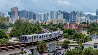
New Tool Puts Miami Development Opportunities on the Map
There's plenty of vacant or underutilized land to be found in Miami-Dade County, if you know where and how to look.

Facebook AI Maps Population Density
Facebook expects to release its worldwide maps of human density in the coming months—potential applications will likely be somewhere on the spectrum between humanitarian and commercial.

Pop Quiz: Can You Identify Cities By Density Alone?
A Planetizen editor failed this quiz.
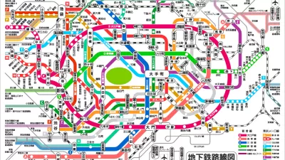
Friday Eye Candy: The World's Subway Systems, If You Could See Them From Above
Have you ever flown over a city and imagined all the subway lines running beneath the surface?

Mapped: Chicago's Shrinking Middle Class
In 1970, half of the city's census tracts were middle-income. Now, only 16 percent of them remain so. Polarization between the well-off and the poor essentially splits the city in two.

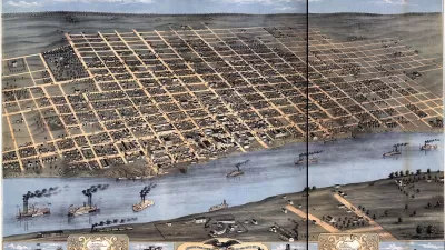
Mapping 'Lost' Transit Systems
Maps of planned, never built, and defunct transit systems in cities from Cleveland to Atlanta and Phoenix back to Cincinnati are for sale.
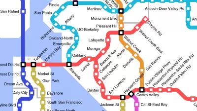
Friday Funny: Imagining Taco Bell-Oriented Rail Transit
A Reddit user created a transit map of the San Francisco Bay Area that connects Taco Bell locations, which, unlike rail public transit, have reached every corner of the region.
Maps, Not Facts
Just the maps, ma'am.

App Provides Real-Time Air Quality Data for Paris
Paris has made some incredibly ambitious and highly controversial policy changes to improve the city's air quality. In the meantime, there's a new app from Valeo to determine the state of the air quality in the city.
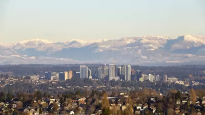
Mapping the Pacific Northwest's Changing Population
The Oregonian has published a new interactive mapping feature that allows users to map demographic changes to the Census tract level through Oregon and Washington.

Mapped: Racial Demographics, Down to the Census Block
An interactive map created by National Geographic creates a detailed look at the racial makeup of the United States.

Mapping the Ambitious Minneapolis 2040 Comprehensive Plan
A parcel-by-parcel map of zoning changes included in the Minneapolis 2040 comprehensive plan.
Mapped: Every Building in the United States
Using data from Microsoft, the New York Times has published an online map showing the placement of every building in the country, in a simple black and white format.
District By District, Maps Trace Neighborhood Opportunity Across the U.S.
Down to the level of individual census tracts, a team of researchers has developed national maps showing where upward mobility is probable, and where it isn't.

Mapping D.C.'s Affordable Housing Investment
The District has created thousands of affordable homes, but analysts see a need for more targeted intervention.

Friday Eye Candy: Mapping Distance and Social Connectedness
The New York Times published an interactive map that shows how important distance is in determining connections on social media.
Urban Design for Planners 1: Software Tools
This six-course series explores essential urban design concepts using open source software and equips planners with the tools they need to participate fully in the urban design process.
Planning for Universal Design
Learn the tools for implementing Universal Design in planning regulations.
planning NEXT
Appalachian Highlands Housing Partners
Mpact (founded as Rail~Volution)
City of Camden Redevelopment Agency
City of Astoria
City of Portland
City of Laramie


