


The transit map is useful, but doesn't always capture the scale of the engineering feat that produced the world's subways systems.
An article by David Montgomery starts with a simple enough question: "[W]hat would it look like if, high above the skyline, you could actually see where trains were shuttling people around?"
That is, what if subway lines were visible from high above?
"A group of digital artists is revealing just that, using photos taken from airplane windows to highlight the real footprint of metro systems in cities around the world," writes Montgomery. Artists began creating the images and posting them online in 2013, starting with an image of New York by a Serbian artist going by the username "Arnorrian."
A new image of Paris gained viral popularity on Reddit, and now transit fans have created similar images of Budapest, Milan, Cologne, and London.
Montgomery includes the best examples in the source article.
FULL STORY: Getting a Bird’s Eye View of the World’s Subway Systems

Friday Eye Candy: The World's Subway Systems, If You Could See Them From Above
Have you ever flown over a city and imagined all the subway lines running beneath the surface?
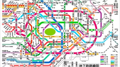
Friday Eye Candy: Subway-Style Maps That Explain Everything
Ok maybe not everything, everything—but the recognizable tropes of subway maps do make it easier to explain everything from the development of cities to musical styles to interstellar scale.
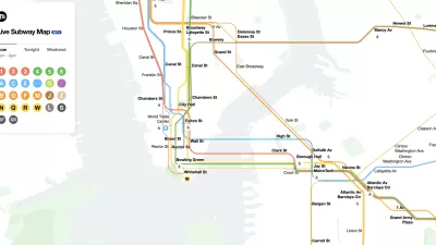
The New New York Subway Map Works in Real Time
There's a new chapter, and maybe an end, for the "Great Subway Map Debate."

Planetizen Federal Action Tracker
A weekly monitor of how Trump’s orders and actions are impacting planners and planning in America.

Congressman Proposes Bill to Rename DC Metro “Trump Train”
The Make Autorail Great Again Act would withhold federal funding to the system until the Washington Metropolitan Area Transit Authority (WMATA), rebrands as the Washington Metropolitan Authority for Greater Access (WMAGA).

The Simple Legislative Tool Transforming Vacant Downtowns
In California, Michigan and Georgia, an easy win is bringing dollars — and delight — back to city centers.

The States Losing Rural Delivery Rooms at an Alarming Pace
In some states, as few as 9% of rural hospitals still deliver babies. As a result, rising pre-term births, no adequate pre-term care and "harrowing" close calls are a growing reality.

The Small South Asian Republic Going all in on EVs
Thanks to one simple policy change less than five years ago, 65% of new cars in this Himalayan country are now electric.

DC Backpedals on Bike Lane Protection, Swaps Barriers for Paint
Citing aesthetic concerns, the city is removing the concrete barriers and flexposts that once separated Arizona Avenue cyclists from motor vehicles.
Urban Design for Planners 1: Software Tools
This six-course series explores essential urban design concepts using open source software and equips planners with the tools they need to participate fully in the urban design process.
Planning for Universal Design
Learn the tools for implementing Universal Design in planning regulations.
Smith Gee Studio
City of Charlotte
City of Camden Redevelopment Agency
City of Astoria
Transportation Research & Education Center (TREC) at Portland State University
US High Speed Rail Association
City of Camden Redevelopment Agency
Municipality of Princeton (NJ)