


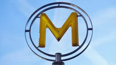
Ok maybe not everything, everything—but the recognizable tropes of subway maps do make it easier to explain everything from the development of cities to musical styles to interstellar scale.
Phil Edwards shares a fun and enlightening list of maps that apply the design tropes of subway maps such as the New York MTA's to everything but the subway. It turns out that the color and spatial coding of subway maps is helpful in providing access to many large and complex subjects.
So for instance, maps of all of the national parks in the United States and the travel routes of the world's largest passenger plan make a lot more sense with the help of subway map-style. Other maps make sense of spatial concepts that might never make sense to mere mortals without the help of subway map-style, such as a map showing the thrust necessary to travel between planets in our solar system, a map of the body's inter-related systems, or a map of the Milky Way Galaxy system—of which, for some perspective, our solar system is only a small stop on a tangential line that leads to the Orion Nebula.
My personal favorite is the map that plots cities as subway stops along the routes provided by North America's rivers.
FULL STORY: 15 subway-style maps that explain everything but subways

Friday Eye Candy: Making Subway Lines Visible From an Airplane
The transit map is useful, but doesn't always capture the scale of the engineering feat that produced the world's subways systems.
The New New York Subway Map Works in Real Time
There's a new chapter, and maybe an end, for the "Great Subway Map Debate."
Friday Eye Candy: A Sorely-Needed Map of New York City Neighborhoods
Neighborhoods don't get the same official boundaries as cities, counties, states, and countries. So how do we know where one neighborhood ends and another begins?

Planetizen Federal Action Tracker
A weekly monitor of how Trump’s orders and actions are impacting planners and planning in America.

Chicago’s Ghost Rails
Just beneath the surface of the modern city lie the remnants of its expansive early 20th-century streetcar system.

San Antonio and Austin are Fusing Into one Massive Megaregion
The region spanning the two central Texas cities is growing fast, posing challenges for local infrastructure and water supplies.

Since Zion's Shuttles Went Electric “The Smog is Gone”
Visitors to Zion National Park can enjoy the canyon via the nation’s first fully electric park shuttle system.

Trump Distributing DOT Safety Funds at 1/10 Rate of Biden
Funds for Safe Streets and other transportation safety and equity programs are being held up by administrative reviews and conflicts with the Trump administration’s priorities.

German Cities Subsidize Taxis for Women Amid Wave of Violence
Free or low-cost taxi rides can help women navigate cities more safely, but critics say the programs don't address the root causes of violence against women.
Urban Design for Planners 1: Software Tools
This six-course series explores essential urban design concepts using open source software and equips planners with the tools they need to participate fully in the urban design process.
Planning for Universal Design
Learn the tools for implementing Universal Design in planning regulations.
planning NEXT
Appalachian Highlands Housing Partners
Mpact (founded as Rail~Volution)
City of Camden Redevelopment Agency
City of Astoria
City of Portland
City of Laramie