


As America's VMT returns to record highs, more of the miles are coming from cities than ever before.
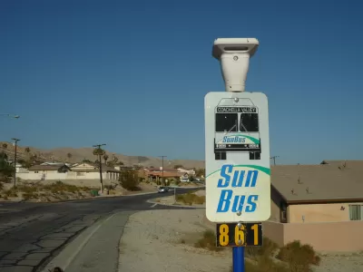
"Urban driving is up 33 percent in that time; rural driving has fallen 12 percent," Henry Garbar writes for Slate. That is a huge change in vehicle miles traveled (VMT) and, while it's tempting to look for reasons in the classification of roads or in demographic change, those only account for part of the jump. "America’s cities (by which I mean, mostly, their sprawling exurbs) have grown by 19 percent in that time—meaning that bigger cities account for just 58 percent of the urban driving mileage increase," Garbar reports.
The missing 42 percent is hard to account for. It could be a result of transit decline, which is concentrated in cities, it could be that city drivers drive more when gas costs are lower, or it could have to do with the kinds of cities that are growing. "We know that urban growth—especially over the past few years—has been concentrated in sprawling Sun Belt metropolises, so it would make sense for driving to outpace urban population growth," Garbar writes.
Urbanists have long touted less need to drive as an advantage to city life. If cities and the way we use them continue to follow this trend, some of that advantage may whither away.
FULL STORY: Urban America Is Driving More. Rural America Is Driving Less. What Gives?

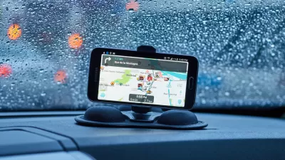
Waze Wants To Be a Carpooling Matchmaker
The Google-owned company has the data to connect commuters to possible carpool buddies, Whether Waze can stem the long-term decline in carpooling remains to be seen.
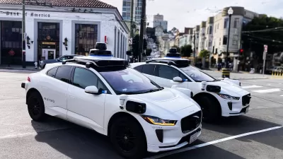
How Autonomous Cars Can Induce Sprawl and Sabotage Climate Goals
Robotaxis can lead to longer, more frequent trips and are projected to increase VMT by as much as 83 percent.

Opinion: Why Linking Driving to GDP Misses the Point
The argument that car-centric development is good because it boosts national GDP ignores the massive costs of driving to everyday Americans.

Planetizen Federal Action Tracker
A weekly monitor of how Trump’s orders and actions are impacting planners and planning in America.

Maui's Vacation Rental Debate Turns Ugly
Verbal attacks, misinformation campaigns and fistfights plague a high-stakes debate to convert thousands of vacation rentals into long-term housing.

San Francisco Suspends Traffic Calming Amidst Record Deaths
Citing “a challenging fiscal landscape,” the city will cease the program on the heels of 42 traffic deaths, including 24 pedestrians.

Defunct Pittsburgh Power Plant to Become Residential Tower
A decommissioned steam heat plant will be redeveloped into almost 100 affordable housing units.

Trump Prompts Restructuring of Transportation Research Board in “Unprecedented Overreach”
The TRB has eliminated more than half of its committees including those focused on climate, equity, and cities.

Amtrak Rolls Out New Orleans to Alabama “Mardi Gras” Train
The new service will operate morning and evening departures between Mobile and New Orleans.
Urban Design for Planners 1: Software Tools
This six-course series explores essential urban design concepts using open source software and equips planners with the tools they need to participate fully in the urban design process.
Planning for Universal Design
Learn the tools for implementing Universal Design in planning regulations.
Heyer Gruel & Associates PA
JM Goldson LLC
Custer County Colorado
City of Camden Redevelopment Agency
City of Astoria
Transportation Research & Education Center (TREC) at Portland State University
Jefferson Parish Government
Camden Redevelopment Agency
City of Claremont