


As the Los Angeles metro area expands its transit options, transit-oriented development is following suit. In some neighborhoods, lower-income residents are being displaced.
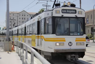
Judging from elections in November and March, L.A. residents seem generally in favor of transit and development. Nate Berg writes about how the city's rail-building spree, while beneficial in many ways, also exacts a social cost.
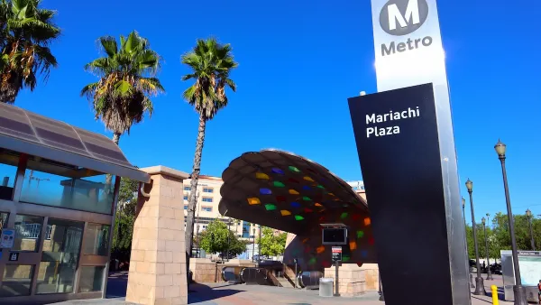
Pulling from UCLA research, Berg discusses the complexities of displacement, which some development boosters have a tendency to gloss over. "Much of this displacement is happening in neighborhoods surrounding the transit stations in L.A.'s growing public transportation network. Where transit grows, development and displacement seem to follow."
"'I think that we now know there is a dark side of TOD,' says [UCLA planning professor Anastasia] Loukaitou-Sideris. 'That does not mean we should abandon designing TODs, but it definitely means that we really need to safeguard some of these communities.'"
In some places, neighborhoods have effectively organized to limit the scale of development around rail lines, another sensitive point after the city's vitriol-laden fight over the defeated anti-development Measure S.
Berg points to another recent ballot item that may help. "Proposition JJJ, approved by Los Angeles voters in November 2016, requires that new development projects set aside a certain number of affordable housing units and incentivizes the creation of affordable units near transit stations and corridors."
FULL STORY: Neighborhood Watching

High Housing Costs Driving Down Transit Ridership in LA
When neighborhoods gentrify and displace lower-income residents, transit ridership suffers, new research shows.
Coalition Fights Displacement Along Purple Line
Community advocates are warning that Maryland’s new light rail line could cause displacement without concerted efforts to preserve affordable housing and legacy businesses.

Op-Ed: Transit-Oriented Development Must Protect Tenants
It's time for planners to contend with displacement by transit investment, writes Tracy Jeanne Rosenthal.

Maui's Vacation Rental Debate Turns Ugly
Verbal attacks, misinformation campaigns and fistfights plague a high-stakes debate to convert thousands of vacation rentals into long-term housing.

Planetizen Federal Action Tracker
A weekly monitor of how Trump’s orders and actions are impacting planners and planning in America.

San Francisco Suspends Traffic Calming Amidst Record Deaths
Citing “a challenging fiscal landscape,” the city will cease the program on the heels of 42 traffic deaths, including 24 pedestrians.

Defunct Pittsburgh Power Plant to Become Residential Tower
A decommissioned steam heat plant will be redeveloped into almost 100 affordable housing units.

Trump Prompts Restructuring of Transportation Research Board in “Unprecedented Overreach”
The TRB has eliminated more than half of its committees including those focused on climate, equity, and cities.

Amtrak Rolls Out New Orleans to Alabama “Mardi Gras” Train
The new service will operate morning and evening departures between Mobile and New Orleans.
Urban Design for Planners 1: Software Tools
This six-course series explores essential urban design concepts using open source software and equips planners with the tools they need to participate fully in the urban design process.
Planning for Universal Design
Learn the tools for implementing Universal Design in planning regulations.
Heyer Gruel & Associates PA
JM Goldson LLC
Custer County Colorado
City of Camden Redevelopment Agency
City of Astoria
Transportation Research & Education Center (TREC) at Portland State University
Jefferson Parish Government
Camden Redevelopment Agency
City of Claremont