Election rhetoric aside, towns on the U.S.-Mexico border share common urban challenges. A proposal is in the works to connect Brownsville, Texas and the Mexican city of Matamoros via bike path.


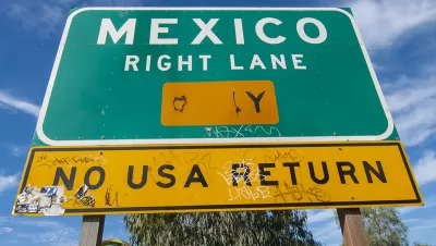
In the current political climate, taking a casual bike trip across the U.S.-Mexico border seems like an impossibility. But to many border communities, nationalist rhetoric takes a back seat to shared local issues. On one such situation, Ana Arana writes, "Considered as one metropolitan area, Brownsville, Matamoros and the suburbs of both cities comprise more than 1.1 million people."
Bridging the dividing line between Texas and the Mexican state of Tamaulipas, many officials from both sides consider the region a "conurbated metropolis": "an urban region made up of many cities and towns where jurisdictional boundaries can complicate decision making." Shared considerations include pollution, traffic, crime, and public health, none of which can be halted at a porous border. The two cities also share intimate economic ties.
Across a border stereotyped as a place for illegality, city officials like Matamoros Planning Director Mauricio Ibarra want to connect the two communities in an innovative way: a bi-national park and bike trail. He's positioning the proposal as a path toward connecting the two cities' cultural districts.
While security will still be a concern (the park may be sited close to a new U.S. consulate complex, which provides enhanced security), "Ibarra says his park will be a way to reacquaint Brownsville with Matamoros. After all, he says, both cities have gone through difficult times together over many decades and they have always pulled through."
Read the full story: A Plan for a Bike Trail Across the U.S.-Mexico Border

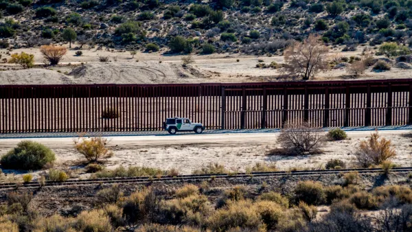
The Failures of the U.S.-Mexico Border Wall
Trump's promised "impenetrable" wall has proven to be anything but.
Border Town Removes Licensing Barrier to Encourage Solar
On the U.S.-Mexico border just west of the Gulf of Mexico, Brownsville looks to take advantage of its sunny territory.
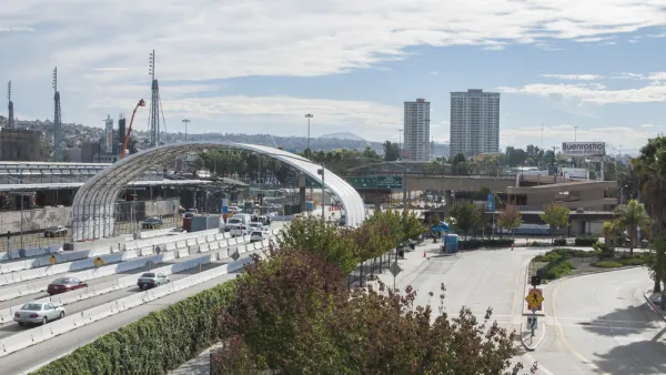
New Pedestrian Crossing Between California and Mexico Opening Next Week
The latest in a series of new pedestrian crossings at the Mexico-U.S. border between San Ysidro and El Chaparral opens on July 31.

Planetizen Federal Action Tracker
A weekly monitor of how Trump’s orders and actions are impacting planners and planning in America.

California plans to bury El Niño’s downpour
If the state plays its cards right, it may be able to store a billion acre-feet of El Niño’s water in aquifers.

Chicago breaks ground on $3 billion megadevelopment
The new neighborhood, titled Foundry Park, will one day host 3,700 residences.

Satanic Place Names
From streams and lakes to valleys and canyons, I mapped more than 1,000 places named after the Devil.

California High-Speed Rail Authority CEO resigns after $600,000 scandal
Under Ian Choudri, the authority used taxpayer dollars to fund first class flights and trips to nightclubs.

Want to study the Missouri River? Soon, you may need unanimous approval from 10 states
Legislation would require 10 governors’ permission to study or build projects moving water outside the basin.

FREE Course: Walkable City 1: Why Walkability?
After describing his path towards focusing on walkability as the essence of good planning, Jeff Speck marches through his five principal reasons for making more walkable places.
Reinventing Malls: Planning Alchemy—Turning Gray Fields Into Gold
The course focuses on the opportunities and imperatives that shape reinvention of mall sites.

City of Rosemead
Rutgers University, Edward J. Bloustein School of Planning and Public Policy
One Hundred Miles
Hunter College, City University of New York (CUNY)
The Architects Foundation
University of Cincinnati Online
City of Cambridge
Montrose County
The Pocatello Development Authority