


"Cities Alive," an attractive new report by Arup, one of the world's largest engineering firm, highlights the significant social, economic, environmental and political benefits of walking.

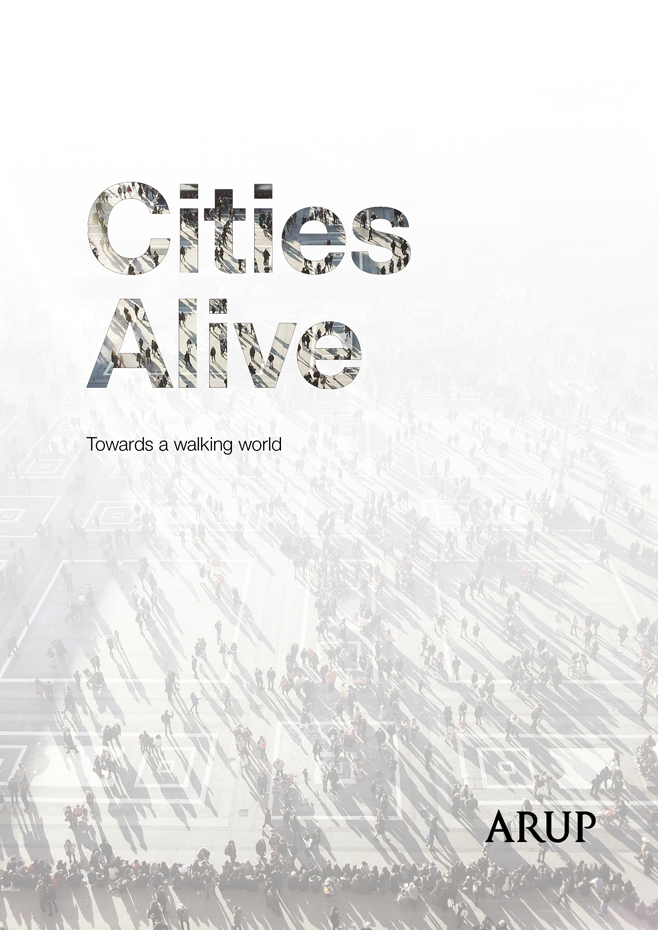
The new free report, Cities Alive, by Arup, one of the world's largest engineering and planning firms, describes why and how to create more walkable cities. Informed by specialist insight and multidisciplinary expertise from across their global offices, the report highlights 50 benefits of walking explored through 16 distinct indicative themes, and lists 40 actions that city leaders can consider to improve walking policy, strategy and design. These are informed by a catalogue of 80 international case studies that will inspire action and further aid cities in identifying and evaluating opportunities. It is a terrific, attractive document.
This is an example of the shift among professional organizations toward more comprehensive and multi-modal transport planning, which is particularly important in developing country cities where the costs of automobile dependency are particularly high, and most households will never own automobiles.
“...I truly believe that if you can change the street, you can change the world.” —Janette Sadik-Khan, Commissioner of the New York City Department of Transportation from 2007 to 2013
FULL STORY: Cities Alive: Towards a Walking World


The Natalist Case For Sprawl (And Why It Fails)
Some commentators defend anti-urban government policies such as exclusionary zoning on the basis that homeowning suburbanites have high birth rates. But this doesn't seem to be true in recent decades.
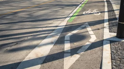
A Troubling Trend of Backlash to Bike Lanes
Some cities are going so far as to rip out protected bike infrastructure that took years of advocacy to build.
Rethinking Suburban Development: New Trends in Creating Livable Communities
Discover new trends in suburban development focused on creating more livable, sustainable communities for future growth.

Planetizen Federal Action Tracker
A weekly monitor of how Trump’s orders and actions are impacting planners and planning in America.

Congressman Proposes Bill to Rename DC Metro “Trump Train”
The Make Autorail Great Again Act would withhold federal funding to the system until the Washington Metropolitan Area Transit Authority (WMATA), rebrands as the Washington Metropolitan Authority for Greater Access (WMAGA).

DARTSpace Platform Streamlines Dallas TOD Application Process
The Dallas transit agency hopes a shorter permitting timeline will boost transit-oriented development around rail stations.

San Francisco's School District Spent $105M To Build Affordable Housing for Teachers — And That's Just the Beginning
SFUSD joins a growing list of school districts using their land holdings to address housing affordability challenges faced by their own employees.

Car-Centric LA Suburb Looks to a Train-Oriented Future
City leaders in Rancho Cucamonga, the future western terminus of the Brightline West rail line to Las Vegas, want to reimagine the city as a transit-oriented, pedestrian-friendly community.

New Alaska Bitcoin Mine Would Burn as Much Energy as the State’s Largest Coal Plant
Fueled by “stranded” natural gas, the startup hopes to become the largest in the US, and to make Alaska an industry center.
Urban Design for Planners 1: Software Tools
This six-course series explores essential urban design concepts using open source software and equips planners with the tools they need to participate fully in the urban design process.
Planning for Universal Design
Learn the tools for implementing Universal Design in planning regulations.
Municipality of Princeton
Roanoke Valley-Alleghany Regional Commission
City of Mt Shasta
City of Camden Redevelopment Agency
City of Astoria
Transportation Research & Education Center (TREC) at Portland State University
US High Speed Rail Association
City of Camden Redevelopment Agency
Municipality of Princeton (NJ)