


The U.S. Forest Service has continued to refine the valuable i-Tree software program, which allows cities to calculate the benefits, in dollar figures, of the urban forest.
Laura Bliss reports on the work of David Nowak, a lead researcher at the U.S. Forest Service’s Northern Research Station in Syracuse, New York, and one of the founding developers of the Forest Service's i-Tree software programs.
The i-Tree system uses GIS and a complex set of algorithms, to provide "detailed inventories of their urban canopies, and calculate their dollar value." Bliss details how the i-Tree program worked for a study of Austin's urban forest in 2014 [pdf]:
A recent i-Tree analysis of Austin, Texas, led by Nowak, estimated that trees save that city nearly $19 million annually in reduced building-energy use, some $5 million in reduced carbon emissions, and account for about $16 billion as standalone physical assets. Past that, they’re worth $3 million per year in their reduction of air pollution (based on avoided respiratory health problems), and nearly $12 million per year in the amount of carbon they sequester.
The i-Tree system has been collecting new metrics since it was first released in 2006, but Nowak is still working to add more ways to quantify the benefits of trees. "Right now, some of Nowak’s work is focused on calculating the dollar value of the reduced air temperatures and absorbed UV radiation that trees provide," according to Bliss.
The article includes more about the additional potential for the i-Tree program, as well as additional findings the program has revealed about urban forests around the country.
FULL STORY: What Are Trees Worth to Cities?

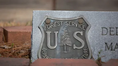
What Forest Service Cuts Mean for Cities
U.S. Forest Service employees work on projects that have impacts far beyond remote, rural wilderness areas.
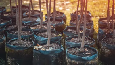
Forest Service Rescinds Tree Planting Grants
The $75 million program fell victim to the federal government’s purge of ‘DEI’-related projects.
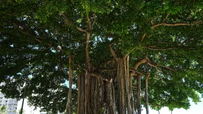
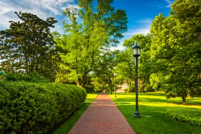
Growing Green: How Parks and Trees Shape Honolulu’s Future
Honolulu is expanding its urban tree canopy through community-driven park revitalization efforts, emphasizing the environmental, social, and cultural benefits of trees in creating a more resilient and equitable city.

Planetizen Federal Action Tracker
A weekly monitor of how Trump’s orders and actions are impacting planners and planning in America.

Congressman Proposes Bill to Rename DC Metro “Trump Train”
The Make Autorail Great Again Act would withhold federal funding to the system until the Washington Metropolitan Area Transit Authority (WMATA), rebrands as the Washington Metropolitan Authority for Greater Access (WMAGA).

DARTSpace Platform Streamlines Dallas TOD Application Process
The Dallas transit agency hopes a shorter permitting timeline will boost transit-oriented development around rail stations.

Renters Now Outnumber Homeowners in Over 200 US Suburbs
High housing costs in city centers and the new-found flexibility offered by remote work are pushing more renters to suburban areas.

The Tiny, Adorable $7,000 Car Turning Japan Onto EVs
The single seat Mibot charges from a regular plug as quickly as an iPad, and is about half the price of an average EV.

Supreme Court Ruling in Pipeline Case Guts Federal Environmental Law
The decision limits the scope of a federal law that mandates extensive environmental impact reviews of energy, infrastructure, and transportation projects.
Urban Design for Planners 1: Software Tools
This six-course series explores essential urban design concepts using open source software and equips planners with the tools they need to participate fully in the urban design process.
Planning for Universal Design
Learn the tools for implementing Universal Design in planning regulations.
Municipality of Princeton
Roanoke Valley-Alleghany Regional Commission
City of Mt Shasta
City of Camden Redevelopment Agency
City of Astoria
Transportation Research & Education Center (TREC) at Portland State University
US High Speed Rail Association
City of Camden Redevelopment Agency
Municipality of Princeton (NJ)