


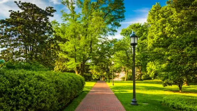
OpenTreeMap allows cities to inventory trees and see the environmental and economic benefits.
Trees have numerous environmental benefits. The U.S. Forest Service even has a free software program called i-Tree that calculates the environmental and economic benefits of trees. However, as Ben Schiller reports, most cities do not have an accurate tree inventory to see these benefits. Studies are even showing a decline in urban tree population.
Fortunately, as Schiller explains, OpenTreeMap is allowing cities like Philadelphia, Tampa, and San Diego to map and manage their trees by inventorying trees themselves or through citizen participation. OpenTreeMap links directly to the i-Tree program to compute “benefits like CO2 storage, water and energy conservation, and reduction in airborne pollution.” The goal is that "[quantifying] the benefit of trees makes arguing for them easier."
The future iteration of OpenTreeMap will include a feature that “simulates tree plantings and their impacts…It will help planners work out where to plant trees for maximum environmental effect, and to understand how rows of trees might perform over their lifetimes.”
FULL STORY: Mapping Trees To Figure Out Just How Good For Us They Are

What's a Tree Worth?
The U.S. Forest Service has continued to refine the valuable i-Tree software program, which allows cities to calculate the benefits, in dollar figures, of the urban forest.
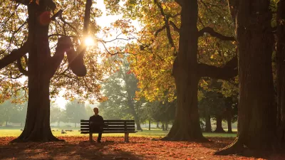
‘Smart Surfaces’ Policy Guide Offers Advice for Building and Maintaining Urban Tree Canopies
Healthy, robust tree canopies can reduce the impacts of extreme heat and improve air quality.
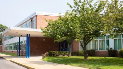
Alabama School Forestry Initiative Brings Trees to Schoolyards
Trees can improve physical and mental health for students and commnity members.

Trump Administration Could Effectively End Housing Voucher Program
Federal officials are eyeing major cuts to the Section 8 program that helps millions of low-income households pay rent.

Planetizen Federal Action Tracker
A weekly monitor of how Trump’s orders and actions are impacting planners and planning in America.

Ken Jennings Launches Transit Web Series
The Jeopardy champ wants you to ride public transit.

Driving Equity and Clean Air: California Invests in Greener School Transportation
California has awarded $500 million to fund 1,000 zero-emission school buses and chargers for educational agencies as part of its effort to reduce pollution, improve student health, and accelerate the transition to clean transportation.

Congress Moves to End Reconnecting Communities and Related Grants
The House Transportation and Infrastructure Committee moved to rescind funding for the Neighborhood Equity and Access program, which funds highway removals, freeway caps, transit projects, pedestrian infrastructure, and more.

From Throughway to Public Space: Taking Back the American Street
How the Covid-19 pandemic taught us new ways to reclaim city streets from cars.
Urban Design for Planners 1: Software Tools
This six-course series explores essential urban design concepts using open source software and equips planners with the tools they need to participate fully in the urban design process.
Planning for Universal Design
Learn the tools for implementing Universal Design in planning regulations.
Heyer Gruel & Associates PA
Ada County Highway District
Institute for Housing and Urban Development Studies (IHS)
City of Grandview
Harvard GSD Executive Education
Toledo-Lucas County Plan Commissions
Salt Lake City
NYU Wagner Graduate School of Public Service