


Chatty Maps break down the sound profile of cities.
According to an article by Trevor Mogg, "a Europe-based research team comprising three computer scientists and an architect started a project called Chatty Maps to produce beautiful-looking interactive maps that let you see how your city sounds."
The article includes details on the methodology used to create the maps, as well as a description of the results:
Click on New York City’s Fifth Avenue, for example, and you’ll find the sounds there break down as 41.8 percent human, 23.9 percent mechanical, 14.3 percent transport, 14 percent nature, and 5.9 percent music. In contrast, Riverside Drive, on the west side of Manhattan, shows 81.5 percent nature, 14.2 percent human, 2.7 percent transport, and 1.5 percent mechanical.
The team has created sounds maps for 12 cities around the world so far, including Chicago, Washington, D.C., Miami, Seattle, Boston, San Francisco, and New York.


Friday Eye Candy: Mapping the Nation's Internet Trolls
Finally, we know where Internet trolls come from—no, not the basements of parents' houses.

Using Artificial Intelligence to Map Telecommuting Prevalence
In the Philadelphia region, residents of wealthier neighborhoods will be more likely to work from home in the future, thus altering travel patterns and transit usage, according to a new mapping project powered by artificial intelligence (AI).

Friday Eye Candy: A Sorely-Needed Map of New York City Neighborhoods
Neighborhoods don't get the same official boundaries as cities, counties, states, and countries. So how do we know where one neighborhood ends and another begins?

Planetizen Federal Action Tracker
A weekly monitor of how Trump’s orders and actions are impacting planners and planning in America.

Vehicle-related Deaths Drop 29% in Richmond, VA
The seventh year of the city's Vision Zero strategy also cut the number of people killed in alcohol-related crashes by half.
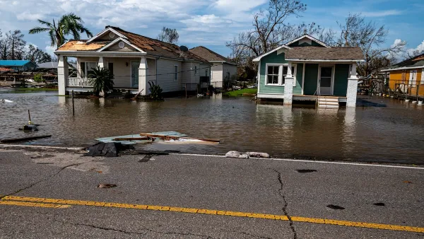
As Trump Phases Out FEMA, Is It Time to Flee the Floodplains?
With less federal funding available for disaster relief efforts, the need to relocate at-risk communities is more urgent than ever.

Judge Reverses Federal Funding Freeze for EV Infrastructure
A federal judge ordered the Trump administration to release funding for the National Electric Vehicle Infrastructure Program, a $5 billion program aimed at improving charging infrastructure.

Santa Monica May Raise Parking Permit Fees
The city says the changes would help better manage curb space and support its sustainability goals.

Portland Housing Bond Created Nearly 5,000 Units, But Affordability Remains Out of Reach
Despite better-than-expected results from multiple local housing bonds, housing costs and homelessness remain top of mind for many Oregonians.
Urban Design for Planners 1: Software Tools
This six-course series explores essential urban design concepts using open source software and equips planners with the tools they need to participate fully in the urban design process.
Planning for Universal Design
Learn the tools for implementing Universal Design in planning regulations.
JM Goldson LLC
Custer County Colorado
Sarasota County Government
City of Camden Redevelopment Agency
City of Astoria
Transportation Research & Education Center (TREC) at Portland State University
Camden Redevelopment Agency
City of Claremont
Municipality of Princeton (NJ)