People use different transportation systems depending on the time of year, yet transportation planning rarely accounts for this seasonal variation.


"Understanding when and how people get around is essential in planning transportation operations," according to an article by Yonah Freemark, because "it affects how much service should be provided." That is, people use transportation systems in different ways depending on the time of the year—and those differences in use also vary depending on the transportation system.
So for instance, in 2015, "roughly nine times as many people rode Chicago’s Divvy bike share system in July as in January." Also, "[on] an average weekday in September 2014, for example, CTA buses served 25 percent more riders than on an average weekday in January," adds Freemark.
Freemark breaks down the seasonal usage of other transportation modes in Chicago, before identifying similar trends in other cities like Los Angeles and Seattle. The point: that transportation planners should continue to explore the effects of seasonal variations and perhaps take them into account when setting schedules and routes.
Read the full story: Talking Transit: Transportation users, traveling in different ways throughout the year

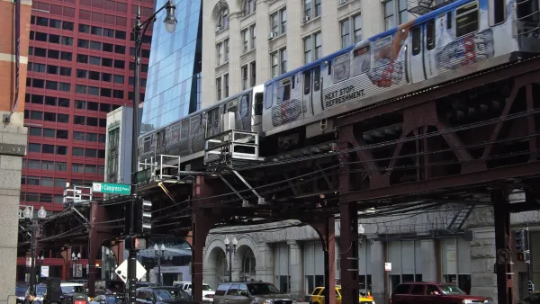
Design Thinking Needs a Broader Perspective
A design-focused study of mode choice doesn’t consider the many ways people interact with and travel through urban environments.
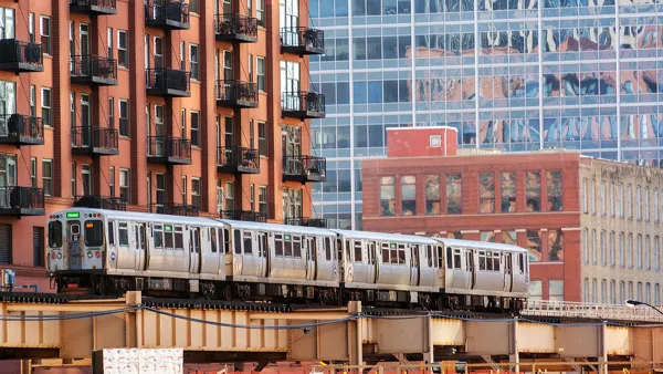
Free Public Transit for Chicago?
The CTA just raised fares, but some think if the service were truly committed to equity it should be made free.
Multi-Modal Trip Planning in Chicago? There Ought to Be an App for That
Samuel Baron makes the case that Divvy, Chicago's "newest transportation system," should be better integrated with the city's other public transport systems.

Planetizen Federal Action Tracker
A weekly monitor of how Trump’s orders and actions are impacting planners and planning in America.
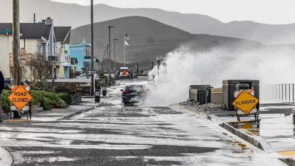
California plans to bury El Niño’s downpour
If the state plays its cards right, it may be able to store a billion acre-feet of El Niño’s water in aquifers.
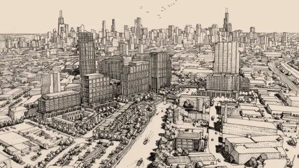
Chicago breaks ground on $3 billion megadevelopment
The new neighborhood, titled Foundry Park, will one day host 3,700 residences.

Desperate measures: Advocates weigh draining Lake Powell to fill Colorado River
Draining the reservoir could reduce evaporation losses by a couple hundred thousand acre-feet.

This road in NYC is infamously dangerous — and Mamdani can't fix it
New York City's Ocean Parkway is known for reckless driving, but the power to implement safety measures lies with the state rather than the city.

One of Denver’s busiest corridors to gain BRT
The project will span 18 miles and contain 74 bus rapid transit stations.

FREE Course: Walkable City 1: Why Walkability?
After describing his path towards focusing on walkability as the essence of good planning, Jeff Speck marches through his five principal reasons for making more walkable places.
Reinventing Malls: Planning Alchemy—Turning Gray Fields Into Gold
The course focuses on the opportunities and imperatives that shape reinvention of mall sites.

City of Rosemead
Rutgers University, Edward J. Bloustein School of Planning and Public Policy
One Hundred Miles
Hunter College, City University of New York (CUNY)
The Architects Foundation
University of Cincinnati Online
City of Cambridge
Montrose County
The Pocatello Development Authority