A little history on the Inuit of the Circumpolar Region as the kickoff in a blog series by Hazel Borys


"Much of what we write about here on PlaceShakers has to do with dense urbanism and clustered rural development, as an alternative to auto-centric suburban development patterns that have dominated North America for the last 70 years. What we don’t talk about as much is that a big part of our raison d’etre is these compact patterns save our farmlands, rangelands, and wilderness from being gobbled up as quickly, and that walkable places reduce vehicle miles traveled and help with our global commons problem of climate change."
"For the rest of July, I intend to turn a focused eye on rural settlement patterns, environmental issues, and preservation, thanks to the Heart of the Arctic expedition I’m embarking on with my family this week. We’ll be heading up to Baffin Island, stopping in communities in Nunavut and Nunavik in Canada, and along the western coast of Greenland, crossing the Arctic circle. While I will share with you insights and photographs from each port as the journey unfolds, today I’m enamored with the region and getting up to speed on its history."
Borys offers up brief insights into the urban form and history of the Circumpolar Region.

Read the full story: The Inuit: A view from the top of the world
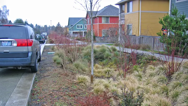
Green Infrastructure Toolkit Launches on World Water Day
The Green Infrastructure Toolkit lists 25 actions local governments can take to transform crusty, impermeable urban landscapes into vibrant, spongy ecosystems that preserve water as a resource and protect against its potential destruction in floods.

Shelter in Place: Working in a Time of Isolation
Need some work-at-home tips from a veteran? Hazel Borys has eight to consider.

Hurricane Harvey a Sober Reminder That Resilience Requires Mitigation and Adaptation
Wishing Houstonians continued strength, fortitude, and safe passage this week, Hazel Borys considers resilience.

Planetizen Federal Action Tracker
A weekly monitor of how Trump’s orders and actions are impacting planners and planning in America.
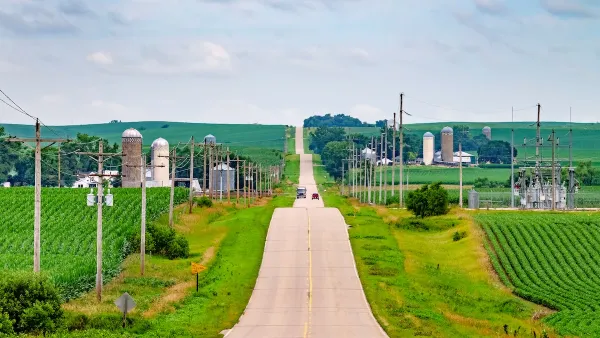
Eastern Nebraska is running out of electricity
Data centers and electrification are straining eastern Nebraska’s grid, throttling economic development.

Study reveals best places in the U.S. for cycling, walking
New research from Streetlight Data examines bicycle and pedestrian miles per capita in the 100 largest U.S. cities by population.

Next-generation nuclear reactors are coming to Texas
The reactors will not require towering containment structures thanks to new safety features.

California distributes $1.3 billion to prevent transit service cuts, bolster projects
Twenty-eight projects across California received a portion of the funding.

Pennsylvania Democrats have 15 affordability, clean energy bills for flipped state Senate
Bills in consideration include a bill supporting geothermal energy and a bill supporting solar on warehouses.

FREE Course: Walkable City 1: Why Walkability?
After describing his path towards focusing on walkability as the essence of good planning, Jeff Speck marches through his five principal reasons for making more walkable places.
Reinventing Malls: Planning Alchemy—Turning Gray Fields Into Gold
The course focuses on the opportunities and imperatives that shape reinvention of mall sites.

City of Charlotte
City of Rosemead
Rutgers University, Edward J. Bloustein School of Planning and Public Policy
University of Michigan School for Environment and Sustainability (SEAS)
Hunter College, City University of New York (CUNY)
The Architects Foundation
City of Cambridge
The Pocatello Development Authority
The Urban Renewal Agency of the City of Pocatello