


In the ongoing quest to better measure the use of streets by all modes—a new tool could be a game changer for transportation engineers, planners, and advocates alike.
Tanya Snyder reports: "A new digital tool called Placemeter aims to measure streets at a much more fine-grained level, analyzing a variety of different aspects of movement in an urban environment."
"Placemeter’s software extracts information from video of streets — it can measure the movement of vehicles, bicyclists, and pedestrians and then tell you about things like the incidence of speeding or the foot traffic for a specific storefront. Cities are finding lots of interesting ways to use it — but it’s not just for bureaucrats. The people behind Placemeter think it will be very useful for advocates too."
The article includes an interview with Alexandre Winter and Florent Peyre, founders of Placemeter, who explain the method of the new tool and its many possible applications. For additional introduction to Placemeter, there's the video found below.
Placemeter Algorithms Output from Placemeter on Vimeo.
FULL STORY: Can a New Way to Measure Streets Help Advocates Tame Speeding?

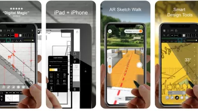
Best Apps for Urban Planning in 2022
Mobile apps continue to redefine the practices of planning—urban planning, regional planning, transportation planning, community planning, and rural planning included.
The Right Planning Consultant Could Make All of the Difference
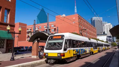
Between DART service optimization and deciding the fate of I-345, Dallas has big of decisions to make. The right consultant, who understands accurate framing of planning issues, could help choose a route that best serves Dallasites.
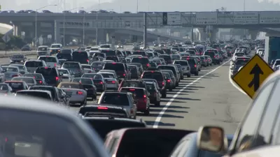
Failing to Account for Induced Traffic, Even When the Public Demands It
Induced traffic occurs when new highway capacity speeds up traffic, allowing travelers to drive further, increasing sprawl. A review of major highway project plans finds that most fail to accurately account for induced travel effects.

Maui's Vacation Rental Debate Turns Ugly
Verbal attacks, misinformation campaigns and fistfights plague a high-stakes debate to convert thousands of vacation rentals into long-term housing.

Planetizen Federal Action Tracker
A weekly monitor of how Trump’s orders and actions are impacting planners and planning in America.

In Urban Planning, AI Prompting Could be the New Design Thinking
Creativity has long been key to great urban design. What if we see AI as our new creative partner?

Pedestrian Deaths Drop, Remain Twice as High as in 2009
Fatalities declined by 4 percent in 2024, but the U.S. is still nowhere close to ‘Vision Zero.’

King County Supportive Housing Program Offers Hope for Unhoused Residents
The county is taking a ‘Housing First’ approach that prioritizes getting people into housing, then offering wraparound supportive services.

Researchers Use AI to Get Clearer Picture of US Housing
Analysts are using artificial intelligence to supercharge their research by allowing them to comb through data faster. Though these AI tools can be error prone, they save time and housing researchers are optimistic about the future.
Urban Design for Planners 1: Software Tools
This six-course series explores essential urban design concepts using open source software and equips planners with the tools they need to participate fully in the urban design process.
Planning for Universal Design
Learn the tools for implementing Universal Design in planning regulations.
planning NEXT
Appalachian Highlands Housing Partners
Mpact (founded as Rail~Volution)
City of Camden Redevelopment Agency
City of Astoria
City of Portland
City of Laramie