


A new mapping project allows new access to information about Chicago's controversial tax increment financing mechanism. Now at least the debate will include visuals.
Benjamin van Loon shares news of the TIF Projects map from Chicago Cityscape, which offers new and helpful access to information and visualization of the impact of tax increment financing.
According to van Loon, "Chicago Cityscape's data-rich map provides an interactive overview of all 375 TIF projects in Chicago currently or soon-to-be underway. Data can be sorted by project name, approval date, TIF assistance amount, total project cost, ward, and community area, so you can always see how that magic money is being spent."
The article also includes a series of screengrabs from neighborhoods around Chicago. TIF districts have come under fire in Chicago recently, with a debate over how TIFs get spent (i.e., "mayor's slush fund for wealthy Downtown interests" or "neighborhood infrastructure investment necessity") leading up the recent Chicago mayoral election.
FULL STORY: Now You Can Easily See Where TIF Dollars Are Being Spent

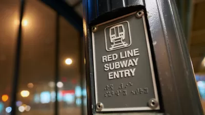
Update: Chicago Red Line Extension TIF Approved
The long-anticipated project that will bring the Chicago Transit Authority rail system into transit deserts on the Southside of Chicago is making substantial progress.

Chicago’s Red Line Extension Environmental Review Complete
The Red Line Extension on Chicago’s South Side could be a game changer, if the city can figure out the local funding.
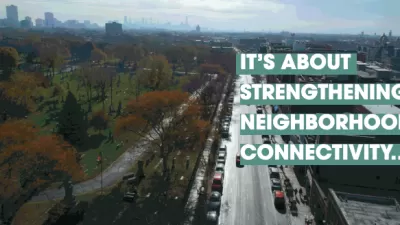
Chicago Seeks Public Input on Clark Street Improvements
The city is creating a strategy for improvements in the Clark Street corridor to improve the area's walkability and stimulate the local economy.

Maui's Vacation Rental Debate Turns Ugly
Verbal attacks, misinformation campaigns and fistfights plague a high-stakes debate to convert thousands of vacation rentals into long-term housing.

Planetizen Federal Action Tracker
A weekly monitor of how Trump’s orders and actions are impacting planners and planning in America.

In Urban Planning, AI Prompting Could be the New Design Thinking
Creativity has long been key to great urban design. What if we see AI as our new creative partner?

King County Supportive Housing Program Offers Hope for Unhoused Residents
The county is taking a ‘Housing First’ approach that prioritizes getting people into housing, then offering wraparound supportive services.

Researchers Use AI to Get Clearer Picture of US Housing
Analysts are using artificial intelligence to supercharge their research by allowing them to comb through data faster. Though these AI tools can be error prone, they save time and housing researchers are optimistic about the future.

Making Shared Micromobility More Inclusive
Cities and shared mobility system operators can do more to include people with disabilities in planning and operations, per a new report.
Urban Design for Planners 1: Software Tools
This six-course series explores essential urban design concepts using open source software and equips planners with the tools they need to participate fully in the urban design process.
Planning for Universal Design
Learn the tools for implementing Universal Design in planning regulations.
planning NEXT
Appalachian Highlands Housing Partners
Mpact (founded as Rail~Volution)
City of Camden Redevelopment Agency
City of Astoria
City of Portland
City of Laramie