


A newly released map shows which stations in the Metrorail system bring in the most revenue for the Washington Metropolitan Area Transit Authority (D.C. Metro).
Aaron Wiener shares insight into a map showing "average daily fare revenue by entry station." The map was originally shared by D.C. Metro's planning blog.
Wiener mines the map for insight into how the system makes money: "The cash cows are clustered in two areas: the downtown employment centers and the ends of the Red, Orange, Blue, Silver, and Yellow lines in the suburbs. The lowest-revenue stations are located mostly in outlying District neighborhoods and in the inner suburbs, particularly on the Green, Orange, and Blue lines."
Wiener notes that the system's planners did not originally prioritize low-income neighborhoods located near the center of the city. He also describes the distinction, in the case of the Metro system and its station locations, between revenue and profit.
FULL STORY: Map: Metro’s Cash Cows

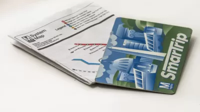
Smartphone Fare Cards Now Available for D.C. Metro
The future is now.
Showdown Over Late Night Hours on D.C. Metro
The general manager of D.C. Metro wants to extend limited late night rail service, in place for two years, into 2019 and beyond. Metro board members have had enough.
Additional Funding, Service Increase Sought by D.C. Metro Officials
For the first time in years, there is talk of expanding service on existing rail lines in the Washington Metropolitan Area Transit Authority (Metro) system.

Planetizen Federal Action Tracker
A weekly monitor of how Trump’s orders and actions are impacting planners and planning in America.

Chicago’s Ghost Rails
Just beneath the surface of the modern city lie the remnants of its expansive early 20th-century streetcar system.

San Antonio and Austin are Fusing Into one Massive Megaregion
The region spanning the two central Texas cities is growing fast, posing challenges for local infrastructure and water supplies.

Since Zion's Shuttles Went Electric “The Smog is Gone”
Visitors to Zion National Park can enjoy the canyon via the nation’s first fully electric park shuttle system.

Trump Distributing DOT Safety Funds at 1/10 Rate of Biden
Funds for Safe Streets and other transportation safety and equity programs are being held up by administrative reviews and conflicts with the Trump administration’s priorities.

German Cities Subsidize Taxis for Women Amid Wave of Violence
Free or low-cost taxi rides can help women navigate cities more safely, but critics say the programs don't address the root causes of violence against women.
Urban Design for Planners 1: Software Tools
This six-course series explores essential urban design concepts using open source software and equips planners with the tools they need to participate fully in the urban design process.
Planning for Universal Design
Learn the tools for implementing Universal Design in planning regulations.
planning NEXT
Appalachian Highlands Housing Partners
Mpact (founded as Rail~Volution)
City of Camden Redevelopment Agency
City of Astoria
City of Portland
City of Laramie