


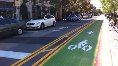
Friday fun in the form of a mapping challenge from the Washington Post's Wonkblog.
Emily Badger and Christopher Ingraham follow up on a post from earlier in the week that put bike infrastructure gaps in perspective by showing maps of bike routes removed from the filler of the auto-oriented street grid.
The original post included maps of the bike lane networks in Washington, D.C., Boston, Miami, and Seattle. A few intrepid bike and map enthusiasts even made more versions of cities around the world.
Then for a bit of fun, Badger and Ingraham transformed the map post into a pop quiz, of sorts, to challenge our mental maps. With the benefit of having read the post earlier this week and having most of this post written when I took the quiz, I scored 11 out of 11, earning myself a "Wow A+++!"
FULL STORY: Quiz: Can you identify these cities by only looking at their bike lanes?

Pop Quiz: Name the City Based on its Cycle Lane Icon
The Guardian has a new pop quiz that will test the knowledge of urban aficionados that tend toward two-wheeled forms of transportation.
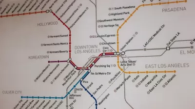
Pop Quiz: Can You Name Cities from their Transit Maps?
What better way to wind down from a long week thinking about cities and maps and transportation than by taking a quiz to show off your knowledge of cities and maps and transportation?

With Protected Lanes, 460% More People Commute by Bike
For those needing more ammo, more data proving what we already knew is here.

Maui's Vacation Rental Debate Turns Ugly
Verbal attacks, misinformation campaigns and fistfights plague a high-stakes debate to convert thousands of vacation rentals into long-term housing.

Planetizen Federal Action Tracker
A weekly monitor of how Trump’s orders and actions are impacting planners and planning in America.

San Francisco Suspends Traffic Calming Amidst Record Deaths
Citing “a challenging fiscal landscape,” the city will cease the program on the heels of 42 traffic deaths, including 24 pedestrians.

Defunct Pittsburgh Power Plant to Become Residential Tower
A decommissioned steam heat plant will be redeveloped into almost 100 affordable housing units.

Trump Prompts Restructuring of Transportation Research Board in “Unprecedented Overreach”
The TRB has eliminated more than half of its committees including those focused on climate, equity, and cities.

Amtrak Rolls Out New Orleans to Alabama “Mardi Gras” Train
The new service will operate morning and evening departures between Mobile and New Orleans.
Urban Design for Planners 1: Software Tools
This six-course series explores essential urban design concepts using open source software and equips planners with the tools they need to participate fully in the urban design process.
Planning for Universal Design
Learn the tools for implementing Universal Design in planning regulations.
Heyer Gruel & Associates PA
JM Goldson LLC
Custer County Colorado
City of Camden Redevelopment Agency
City of Astoria
Transportation Research & Education Center (TREC) at Portland State University
Jefferson Parish Government
Camden Redevelopment Agency
City of Claremont