


Principal investigator Marc Schlossberg and co-investigator John Rowell, of the University of Oregon, have complete a guide to help communities of all varieties realize the benefits of complete streets.
National Institute for Transportation and Communities (NITC) researchers have created a complete streets design manual "to aid traffic engineers, transportation planners, elected officials, businesses and community stakeholders in re-envisioning their streets."
Called "Rethinking Streets: An Evidence Based Guide to 25 Complete Streets Transformations," the manual includes photographs documenting the context and before-and-after appearance of the redesigned streets, data about collisions, economic factors, annual average daily traffic (AADT), and mode choices, according to a press release by the Oregon Transportation Research and Education Consortium.
The press release also lists highlights from the report with regard to cycling, safety, placemaking, and retail.
FULL STORY: NITC researchers release Complete Streets design guide

Dallas Warming Up to Complete Streets
A new Complete Streets Design Manual is under consideration in Dallas City Hall, but according to a recent article explaining Dallas' move toward walkable neighborhoods, the city has some work to do before the idea fully takes hold.

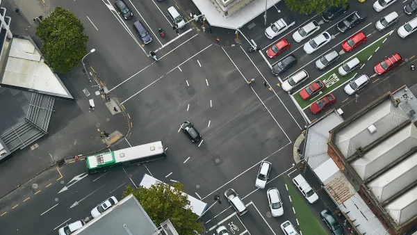
San Francisco Suspends Traffic Calming Amidst Record Deaths
Citing “a challenging fiscal landscape,” the city will cease the program on the heels of 42 traffic deaths, including 24 pedestrians.
How Understanding Near-Misses Can Improve Road Safety
Most road safety efforts are based on data about crashes that have already occurred. But important information can be gleaned from incidents when something almost went wrong, but didn’t.

Planetizen Federal Action Tracker
A weekly monitor of how Trump’s orders and actions are impacting planners and planning in America.

Maui's Vacation Rental Debate Turns Ugly
Verbal attacks, misinformation campaigns and fistfights plague a high-stakes debate to convert thousands of vacation rentals into long-term housing.
San Francisco Suspends Traffic Calming Amidst Record Deaths
Citing “a challenging fiscal landscape,” the city will cease the program on the heels of 42 traffic deaths, including 24 pedestrians.

Amtrak Rolls Out New Orleans to Alabama “Mardi Gras” Train
The new service will operate morning and evening departures between Mobile and New Orleans.

The Subversive Car-Free Guide to Trump's Great American Road Trip
Car-free ways to access Chicagoland’s best tourist attractions.

San Antonio and Austin are Fusing Into one Massive Megaregion
The region spanning the two central Texas cities is growing fast, posing challenges for local infrastructure and water supplies.
Urban Design for Planners 1: Software Tools
This six-course series explores essential urban design concepts using open source software and equips planners with the tools they need to participate fully in the urban design process.
Planning for Universal Design
Learn the tools for implementing Universal Design in planning regulations.
Heyer Gruel & Associates PA
JM Goldson LLC
Custer County Colorado
City of Camden Redevelopment Agency
City of Astoria
Transportation Research & Education Center (TREC) at Portland State University
Jefferson Parish Government
Camden Redevelopment Agency
City of Claremont