


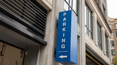
A new tool from TransForm shows where parking is underutilized in the Bay Area, even finding wasted space in a city as notorious for parking difficulties as San Francisco.
Rachel Dovey shares the details of Oakland-based non-profit TransForm, which launched a new database last week to help show that "parking structures in Northern California’s urban core are actually underutilized..." Dovey describes how the tool works:
The tool, called the GreenTrip Parking Database, overlays multifamily housing data on Google Maps, focusing primarily on high-growth areas like the East and South Bay. With over 65 complexes shown, users can filter information into sub-categories (to find only buildings with a certain number of units, say, or only buildings located in a certain city). Each tailored search brings up a page with parking information: the number of spaces allotted per unit, the number of spaces actually being used and then, most significantly, the cost of that unused space.
The article also includes information on how TransForm created the database.
FULL STORY: New Tool Maps Bay Area’s Expensive, Unused Parking


Austin Ends Parking Minimums
The city approved changes called for by a May resolution that eliminate parking requirements in all neighborhoods.
Parking Reform Pays Off With Lower Rent Costs
Research continues to show that adjusting parking requirements to align with demand can lower the cost of housing.

Norman, Oklahoma Eliminates Parking Mandates
The city made a subtle, one-word change that frees up developers to build parking based on actual need and eliminates costly unnecessary parking.

Planetizen Federal Action Tracker
A weekly monitor of how Trump’s orders and actions are impacting planners and planning in America.

Maui's Vacation Rental Debate Turns Ugly
Verbal attacks, misinformation campaigns and fistfights plague a high-stakes debate to convert thousands of vacation rentals into long-term housing.

San Francisco Suspends Traffic Calming Amidst Record Deaths
Citing “a challenging fiscal landscape,” the city will cease the program on the heels of 42 traffic deaths, including 24 pedestrians.

Defunct Pittsburgh Power Plant to Become Residential Tower
A decommissioned steam heat plant will be redeveloped into almost 100 affordable housing units.

Trump Prompts Restructuring of Transportation Research Board in “Unprecedented Overreach”
The TRB has eliminated more than half of its committees including those focused on climate, equity, and cities.

Amtrak Rolls Out New Orleans to Alabama “Mardi Gras” Train
The new service will operate morning and evening departures between Mobile and New Orleans.
Urban Design for Planners 1: Software Tools
This six-course series explores essential urban design concepts using open source software and equips planners with the tools they need to participate fully in the urban design process.
Planning for Universal Design
Learn the tools for implementing Universal Design in planning regulations.
Heyer Gruel & Associates PA
JM Goldson LLC
Custer County Colorado
City of Camden Redevelopment Agency
City of Astoria
Transportation Research & Education Center (TREC) at Portland State University
Jefferson Parish Government
Camden Redevelopment Agency
City of Claremont