


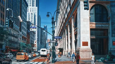
For New York City's bikers, new bicycle infrastructure has shortened distances between transit stops and raised the value of rentals in out of the way corners of the city.

"As the search for more affordable real estate in New York City pushes deeper into neighborhoods that were once considered out of the way, bicycle lanes are taking on new importance," reports Michelle Higgins.
The article quotes Lyon Porter, who explains the real estate benefits of biking in the city: "'People get so much more for their money in this tight, compressed market,' when freed from the need to be near a train line, he said. 'Your definable boundaries are different on a bike.' Without one, he said, 'your map changes.'"
The article goes on to highlight a number of New Yorkers in different parts of the city shortening their trips by making the choice to bike.
FULL STORY: No MetroCard Needed


New York City Plans Street Safety Projects as Congestion Pricing Nears
With congestion pricing projected to reduce the number of cars entering Manhattan, NYCDOT plans to repurpose street space to build more pedestrian and bike infrastructure.
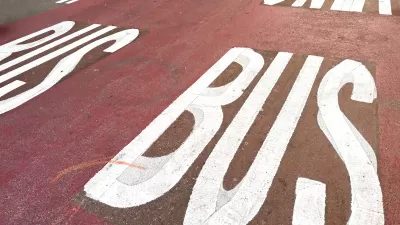
New York DOT Status Report Shows Slow Progress on Bus, Bike Lanes
According to a report released by the agency, NYCDOT failed to meet its benchmarks for installing new dedicated bus and bike lanes.
NYC Streets Plan Remains Largely on Paper
For the second year in a row, the city failed to meet legally required targets for building protected bike lanes and bus lanes.

Planetizen Federal Action Tracker
A weekly monitor of how Trump’s orders and actions are impacting planners and planning in America.

Maui's Vacation Rental Debate Turns Ugly
Verbal attacks, misinformation campaigns and fistfights plague a high-stakes debate to convert thousands of vacation rentals into long-term housing.

San Francisco Suspends Traffic Calming Amidst Record Deaths
Citing “a challenging fiscal landscape,” the city will cease the program on the heels of 42 traffic deaths, including 24 pedestrians.

Defunct Pittsburgh Power Plant to Become Residential Tower
A decommissioned steam heat plant will be redeveloped into almost 100 affordable housing units.

Trump Prompts Restructuring of Transportation Research Board in “Unprecedented Overreach”
The TRB has eliminated more than half of its committees including those focused on climate, equity, and cities.

Amtrak Rolls Out New Orleans to Alabama “Mardi Gras” Train
The new service will operate morning and evening departures between Mobile and New Orleans.
Urban Design for Planners 1: Software Tools
This six-course series explores essential urban design concepts using open source software and equips planners with the tools they need to participate fully in the urban design process.
Planning for Universal Design
Learn the tools for implementing Universal Design in planning regulations.
Heyer Gruel & Associates PA
JM Goldson LLC
Custer County Colorado
City of Camden Redevelopment Agency
City of Astoria
Transportation Research & Education Center (TREC) at Portland State University
Jefferson Parish Government
Camden Redevelopment Agency
City of Claremont