A political battle over the Ozark National Scenic Riverways—the largest federal park in Missouri—is heating up. The debate pressures a crucial distinction: how much are protected open spaces for people, and how much are they for protecting.


The federal government recently ended public comment for the long-range management plan for the Ozark National Scenic Riverways, home to the Current and Jacks Fork rivers and located just three hours southwest of St. Louis. The park's 134 miles of spring-fed river and 80,000 acres of wilderness is a popular destination for outdoor enthusiasts.
Todd C. Frankel reports on the two sides in the debate. "The problem is that some residents living near the rivers believe any new restrictions would hurt tourism and restrict the water access they’ve enjoyed for generations," reports Frankel. That side has the political support of U.S. Rep. Jason Smith, R-Salem, who opposes new restrictions in the federal park, which runs through his district.
On the other side: "environmental and conservation groups, plus some people who live farther away and use the rivers for recreation, believe tighter rules are needed to protect the waterways from degradation." In fact, "[three] years ago, the advocacy group American Rivers listed the Ozark waterways among the nation’s 10 most endangered rivers."
The National Park Service has already announced its preference for new restrictions on motorboats, horseback riders and ATVs. Rep. Smith has responded by introducing two bills in the House, including one that would transfer the park back to state control.
Read the full story: Fight over Ozark rivers isn't waiting for park service's decision

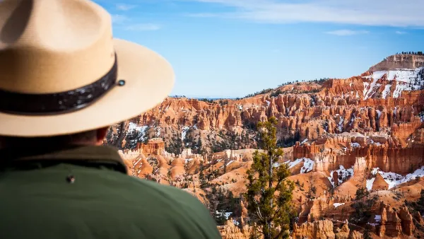
National Parks Layoffs Will Cause Communities to Lose Billions
Thousands of essential park workers were laid off this week, just before the busy spring break season.
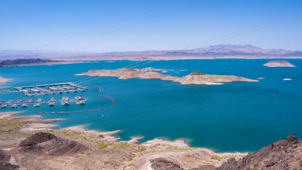
Illegal Roads Threaten Lake Mead’s Shoreline
As visitors seek out ways to reach the lake’s increasingly distant shoreline, officials say illegally created roads are damaging environmental and cultural resources and leading to hundreds of calls for rescue for stranded vehicles.
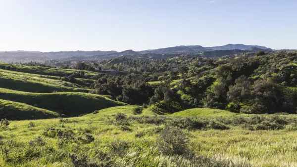
Regenerating and Healing Land Through Parks
Through thoughtful planning and restoration efforts, parks can help heal degraded land, meeting multiple community needs, improving soil quality, restoring native vegetation, and creating habitats for wildlife.

Planetizen Federal Action Tracker
A weekly monitor of how Trump’s orders and actions are impacting planners and planning in America.

Amtrak, CN end decades-long dispute with eight-year agreement
The new operating agreement establishes an updated framework for the companies to work together, including processes to resolve disputes.

Judges permit Denver to divert 77,000 acre feet from the Colorado River for reservoir expansion
Overuse and climate change have caused the Colorado River’s water levels to plummet.
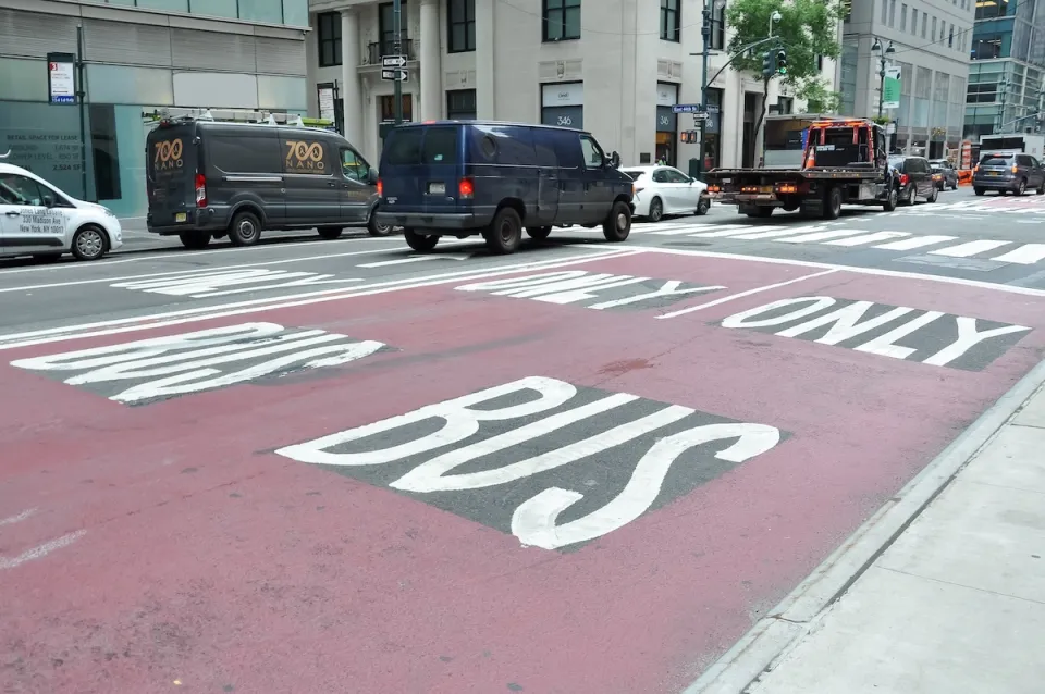
NYC DOT wants faster, more permanent street upgrades
The city is examining ways to build more concrete infrastructure without getting entangled in 'decades-long' projects.

'Something we’ve never seen before:' rising utility rates could strain city finances nationwide
Data centers, climate change and other factors have caused utility rates in the United States to increase by 38% since 2020.

Trump to overrule local leaders, lease millions of acres of America’s Pacific Island territories’ seafloors to mining companies
International law says that the Indigenous people of America’s territories have a right to prior and informed consent regarding projects that impact their countries.

FREE Course: Walkable City 1: Why Walkability?
After describing his path towards focusing on walkability as the essence of good planning, Jeff Speck marches through his five principal reasons for making more walkable places.
Reinventing Malls: Planning Alchemy—Turning Gray Fields Into Gold
The course focuses on the opportunities and imperatives that shape reinvention of mall sites.

Harvard University Graduate School of Design
KFH Group Inc.
Greater Baltimore Committee
The Architects Foundation
University of Cincinnati Online
The Pocatello Development Authority
The Urban Renewal Agency of the City of Pocatello