


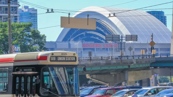
An update to Toronto's Tall Building Design Guidelines seeks to address problems with the seven-year-old planning document, while strengthening the protections afforded historic properties, key sightlines, and local context.
"Toronto is more than ever a city of skyscrapers, and so it is prudent they don’t scrape anybody the wrong way," writes Katie Daubs. "A new set of guidelines call for tall buildings to coexist with the rest of the city, by preserving certain views, honouring neighbourhood context and pedestrian experience — and, this one’s small one — but important: by suggesting that balconies have at least 1.5 metres of space and a rectangular persuasion for dining and seating, thank you very much."
"The latest effort come after six years of watching what worked and didn’t work in the past," she explains. "The general content is similar to existing planning documents, with more specific language and changes based on feedback from developers, ratepayer’s groups and citizens. One of the changes is a call for shorter base buildings," says Councillor Peter Milczyn, (Etobicoke-Lakeshore), chair of the planning and growth management committee.
"[Toronto’s director of urban design Robert Freedman] says the guidelines are 'not a checklist' and there is not likely a tower in the city that meets all of them. The idea is that when staff review an application, they should be looking to see if the 'applicant met the spirit and intent of the guidelines.'”
FULL STORY: New Toronto tall building design guidelines aim to protect views of sky, sun, heritage

Toronto Weighs Cheaper Transit, Parking Hikes for Major Events
Special event rates would take effect during large festivals, sports games and concerts to ‘discourage driving, manage congestion and free up space for transit.”
Toronto Condo Sales Drop 75%
In two of Canada’s most expensive cities, more condos were built than ever — and sales are plummeting.
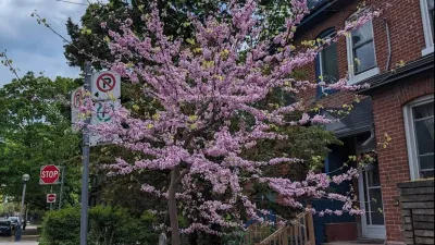
The Most Popular Tree on Google?
Meet Rodney: the Toronto tree getting rave reviews.

Planetizen Federal Action Tracker
A weekly monitor of how Trump’s orders and actions are impacting planners and planning in America.

Map: Where Senate Republicans Want to Sell Your Public Lands
For public land advocates, the Senate Republicans’ proposal to sell millions of acres of public land in the West is “the biggest fight of their careers.”

Restaurant Patios Were a Pandemic Win — Why Were They so Hard to Keep?
Social distancing requirements and changes in travel patterns prompted cities to pilot new uses for street and sidewalk space. Then it got complicated.

Platform Pilsner: Vancouver Transit Agency Releases... a Beer?
TransLink will receive a portion of every sale of the four-pack.

Toronto Weighs Cheaper Transit, Parking Hikes for Major Events
Special event rates would take effect during large festivals, sports games and concerts to ‘discourage driving, manage congestion and free up space for transit.”

Berlin to Consider Car-Free Zone Larger Than Manhattan
The area bound by the 22-mile Ringbahn would still allow 12 uses of a private automobile per year per person, and several other exemptions.
Urban Design for Planners 1: Software Tools
This six-course series explores essential urban design concepts using open source software and equips planners with the tools they need to participate fully in the urban design process.
Planning for Universal Design
Learn the tools for implementing Universal Design in planning regulations.
Heyer Gruel & Associates PA
JM Goldson LLC
Custer County Colorado
City of Camden Redevelopment Agency
City of Astoria
Transportation Research & Education Center (TREC) at Portland State University
Camden Redevelopment Agency
City of Claremont
Municipality of Princeton (NJ)