


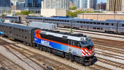
The ambitious plan to transform the auto-oriented D.C. suburb of Tysons Corner into vibrant, walkable Tysons will require building a culture of public transportation, and buses are seen a central piece of that effort, reports Luz Lazo.
While recent stories have focused on the ways in which changing land use patterns will be crucial to the unprecedented retrofit of the D.C. suburb of Tysons Corner, shifting commuters to public transit will be essential to accommodating 80,000 more residents and 100,000 more jobs by 2050.
"Light rail, high-speed bus lanes and even driverless vehicles are among the ideas being bandied about for the urban center Tysons is seen becoming," says Lazo. "They are a testament to the vision for an area long defined by shopping malls and congested boulevards, and some of the futuristic ideas might actually become reality."
“Longer-term, there needs to be additional high-quality transit service into Tysons to support this vision of future development,” said Leonard Wolfenstein, Fairfax’s transportation planning section chief.
"For now," adds Lazo, "county planners see buses as that long-term mode of transportation. Bus development would be less costly than light rail or a smart-vehicle option, according to a county study."
“It is also more flexible given all the uncertainties about how Tysons is going to develop and where and when the development is going to occur over the years,” said Wolfenstein.
FULL STORY: Planning officials see buses at center of transit network serving Tysons Corner

Opinion: Illinois Transit Bill Could Revolutionize Intercity Travel
A bill passed by the state’s General Assembly would create a permanent source of dedicated funding for intercity rail.
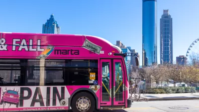
Atlanta Bus System Redesign Will Nearly Triple Access
MARTA's Next Gen Bus Network will retool over 100 bus routes, expand frequent service.
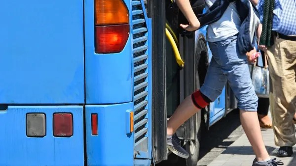
Opinion: Make Buses More Like Sidewalks
Sidewalks are an intuitive, low-cost, and easily accessible mobility tool. Can local buses function in the same way?

Planetizen Federal Action Tracker
A weekly monitor of how Trump’s orders and actions are impacting planners and planning in America.

Restaurant Patios Were a Pandemic Win — Why Were They so Hard to Keep?
Social distancing requirements and changes in travel patterns prompted cities to pilot new uses for street and sidewalk space. Then it got complicated.

Map: Where Senate Republicans Want to Sell Your Public Lands
For public land advocates, the Senate Republicans’ proposal to sell millions of acres of public land in the West is “the biggest fight of their careers.”

Maui's Vacation Rental Debate Turns Ugly
Verbal attacks, misinformation campaigns and fistfights plague a high-stakes debate to convert thousands of vacation rentals into long-term housing.

San Francisco Suspends Traffic Calming Amidst Record Deaths
Citing “a challenging fiscal landscape,” the city will cease the program on the heels of 42 traffic deaths, including 24 pedestrians.

California Homeless Arrests, Citations Spike After Ruling
An investigation reveals that anti-homeless actions increased up to 500% after Grants Pass v. Johnson — even in cities claiming no policy change.
Urban Design for Planners 1: Software Tools
This six-course series explores essential urban design concepts using open source software and equips planners with the tools they need to participate fully in the urban design process.
Planning for Universal Design
Learn the tools for implementing Universal Design in planning regulations.
Heyer Gruel & Associates PA
JM Goldson LLC
Custer County Colorado
City of Camden Redevelopment Agency
City of Astoria
Transportation Research & Education Center (TREC) at Portland State University
Camden Redevelopment Agency
City of Claremont
Municipality of Princeton (NJ)