


Ever wonder what effect the pollution you're exposed to in your neighborhood on a daily basis is having on your family's long-term health? The emerging field of geo-medecine is providing answers, reports Christine MacDonald.
MacDonald profiles the work of Bill Davenhall, a health-care manager with the geographic information systems software developer Esri, and a pioneer in the emerging, yet controversial, field of geo-medicine, which "uses GIS mapping to correlate environmental conditions to health risks like heart attacks and cancer."
Born out Davenhall's desire to find the link between the pollution he'd been exposed to throughout his life and his health troubles, his work has resulted in a free iPhone app, "to help people map their lifetime environmental exposures," and an ongoing project with Loma Linda University Medical Center, 60 miles east of Los Angeles, to geo-code patient address records, among other initiatives.
The potential of geo-medicine seems promising: "it can zoom in on a patient's life to create a geographically
enhanced medical history. Or it can zoom out to give public health
officials, city planners and activists detail-rich insights on how to
improve the well-being of entire communities."
However, not all are as optimistic about the value of geo-medicine as Davenhall. "Some doctors are skeptical. They question the value of tracking
pollutants that, say, cause lung cancer, when there is currently no
preventative screening to catch cases before symptoms appear. Other
critics expect it will lead to more lawsuits. Privacy concerns have also
been raised," writes MacDonald
FULL STORY: Mapping a Lifetime of Health Risks


Bioremediation for Environmental Justice
Bioremediation uses plants, fungi, and microbes to clean up polluted land in place, offering a nature-based option for restoring contaminated sites in overburdened communities.
Wisconsin Awarded $12 Million for Brownfield Redevelopment Amid Broader EPA Budget Cuts
The EPA provided the funding to Wisconsin for brownfield cleanups in cities like Milwaukee and Racine, even as broader agency budget cuts under the Trump administration raise concerns about future environmental protection capacity.

Comment: EPA Cuts will Send Atlanta Back to Eye-burning Ozone, Lung-damaging Smog, and Raw Sewage in the Chattahoochee River
A veteran political journalist takes stock of the hard-earned ground Georgia stands to lose with slashed environmental protection.

Maui's Vacation Rental Debate Turns Ugly
Verbal attacks, misinformation campaigns and fistfights plague a high-stakes debate to convert thousands of vacation rentals into long-term housing.

Planetizen Federal Action Tracker
A weekly monitor of how Trump’s orders and actions are impacting planners and planning in America.

San Francisco Suspends Traffic Calming Amidst Record Deaths
Citing “a challenging fiscal landscape,” the city will cease the program on the heels of 42 traffic deaths, including 24 pedestrians.

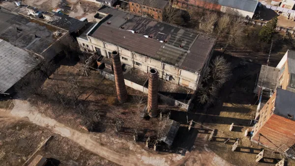
Defunct Pittsburgh Power Plant to Become Residential Tower
A decommissioned steam heat plant will be redeveloped into almost 100 affordable housing units.

Trump Prompts Restructuring of Transportation Research Board in “Unprecedented Overreach”
The TRB has eliminated more than half of its committees including those focused on climate, equity, and cities.

Amtrak Rolls Out New Orleans to Alabama “Mardi Gras” Train
The new service will operate morning and evening departures between Mobile and New Orleans.
Urban Design for Planners 1: Software Tools
This six-course series explores essential urban design concepts using open source software and equips planners with the tools they need to participate fully in the urban design process.
Planning for Universal Design
Learn the tools for implementing Universal Design in planning regulations.
Heyer Gruel & Associates PA
JM Goldson LLC
Custer County Colorado
City of Camden Redevelopment Agency
City of Astoria
Transportation Research & Education Center (TREC) at Portland State University
Jefferson Parish Government
Camden Redevelopment Agency
City of Claremont