


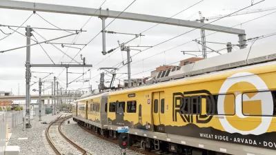
Kaid Benfield looks at a groundbreaking new report compiled by Reconnecting America and the equity coalition Mile High Connects, that suggests how the expansion of Denver's transit system could reach traditionally underserved populations.
According to Benfield, the Denver Regional Equity Atlas, should serve as a nationwide precedent not just for its comprehensive approach to analyzing the coordination of transportation, housing, jobs, and access to important services, but also for its technological sophistication.
Coinciding with the Denver Regional Transportation District's "FasTracks" Program, "one of the country's most ambitious expansions of public transportation infrastructure and services," the report, co-written with the Piton Foundation, is intended to "inform the development of strategies to ensure that existing and expanding transit systems in the Metro Denver region provide greater access from affordable housing to jobs, good schools, health care and other essential services."
FULL STORY: Impressive Denver study on equity & transit should become national model

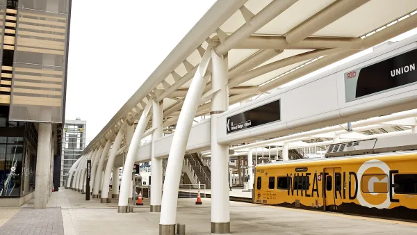
Underwhelming FasTracks Plan Inspires Transit History Lesson in Denver
FasTracks, one of the most ambitious long-term transit plans in the U.S., has been underway for over 15 years. With the finish line in sight, some locals wonder how useful the new hub-and-spoke system (regional routes connecting to downtown) will be.
Using Data to Plan for Equity
Denver’s Equity Atlas is a pioneering effort between private, public, and non-profit interests to visualize a variety of statistics for the Denver metro area.
Colorado Officials Plan Denver-Fort Collins Rail Service by 2029
About $40 million a year in state funding from new transportation fees could be the key to getting a short passenger rail line from Denver to Fort Collins up and running in the next four years, Colorado officials said last week.

Planetizen Federal Action Tracker
A weekly monitor of how Trump’s orders and actions are impacting planners and planning in America.

Restaurant Patios Were a Pandemic Win — Why Were They so Hard to Keep?
Social distancing requirements and changes in travel patterns prompted cities to pilot new uses for street and sidewalk space. Then it got complicated.

Map: Where Senate Republicans Want to Sell Your Public Lands
For public land advocates, the Senate Republicans’ proposal to sell millions of acres of public land in the West is “the biggest fight of their careers.”

Maui's Vacation Rental Debate Turns Ugly
Verbal attacks, misinformation campaigns and fistfights plague a high-stakes debate to convert thousands of vacation rentals into long-term housing.

San Francisco Suspends Traffic Calming Amidst Record Deaths
Citing “a challenging fiscal landscape,” the city will cease the program on the heels of 42 traffic deaths, including 24 pedestrians.

California Homeless Arrests, Citations Spike After Ruling
An investigation reveals that anti-homeless actions increased up to 500% after Grants Pass v. Johnson — even in cities claiming no policy change.
Urban Design for Planners 1: Software Tools
This six-course series explores essential urban design concepts using open source software and equips planners with the tools they need to participate fully in the urban design process.
Planning for Universal Design
Learn the tools for implementing Universal Design in planning regulations.
Heyer Gruel & Associates PA
JM Goldson LLC
Custer County Colorado
City of Camden Redevelopment Agency
City of Astoria
Transportation Research & Education Center (TREC) at Portland State University
Camden Redevelopment Agency
City of Claremont
Municipality of Princeton (NJ)