This past Friday, demolition began on a segment of Baltimore's infamous "Highway to Nowhere" to expand parking for the local commuter rail service (MARC). A side benefit: reuniting communities separated since the 1970s.


In a press release, Governor Martin O'Malley (who was also at the groundbreaking), said:
"The communities of West Baltimore have been frustrated and divided by this concrete wall for nearly four decades," said Governor O'Malley. "It is time to remove the unnecessary divider, reunite communities and make neighborhood-friendly improvements to the MARC station while creating jobs. With the Red Line and our transit oriented development vision for the area moving forward, the future of West Baltimore holds great promise."
The Governor's press release notes that in the original construction of the freeway, "Nearly 700 homes were taken, displacing working-class families, by the time construction of what was known as I-170 got underway in 1974. Public opposition by civil rights leaders, community activists and others to a network of urban highways that were planned to cut through the city eventually stopped construction of I-170 but not before a 1.4 mile section was completed through West Baltimore."
Thanks to John Coleman
Read the full story: Governor O'Malley Breaks Ground on Removal of West Baltimore's 'Highway to Nowhere'

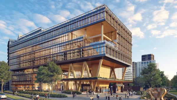
Op-ed: if transit agencies want sustainability, they should focus on their buildings
In the Washington region, buildings can account for nearly 70% of greenhouse gas emissions. If WMATA wants to be a sustainable agency, it must upgrade its developments as well as its transit.
Book Review: Combining Sustainability and Smart Growth
A review of The Sustainable Urban Design Handbook, by architects Nico Larco and Kaarin Knudson.
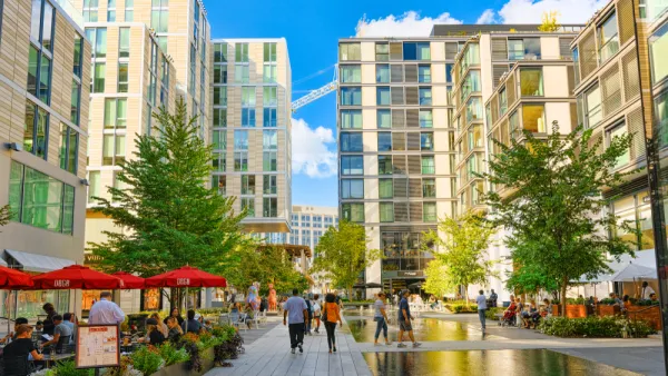
D.C. Regional Framework Emphasizes Equity, Connectivity
The Region United Framework for 2030 outlines a plan for sustainable, equitable development, calling for a 'holistic' approach to regional planning.

Planetizen Federal Action Tracker
A weekly monitor of how Trump’s orders and actions are impacting planners and planning in America.

California plans to bury El Niño’s downpour
If the state plays its cards right, it may be able to store a billion acre-feet of El Niño’s water in aquifers.

Chicago breaks ground on $3 billion megadevelopment
The new neighborhood, titled Foundry Park, will one day host 3,700 residences.

This road in NYC is infamously dangerous — and Mamdani can't fix it
New York City's Ocean Parkway is known for reckless driving, but the power to implement safety measures lies with the state rather than the city.

One of Denver’s busiest corridors to gain BRT
The project will span 18 miles and contain 74 bus rapid transit stations.

275,000 bus trips are at stake on Seattle's ballot
If passed, the Seattle Transit Measure would trigger a 0.3% sales tax and raise an average of $138 million per year to maintain and expand Seattle’s bus services.

FREE Course: Walkable City 1: Why Walkability?
After describing his path towards focusing on walkability as the essence of good planning, Jeff Speck marches through his five principal reasons for making more walkable places.
Reinventing Malls: Planning Alchemy—Turning Gray Fields Into Gold
The course focuses on the opportunities and imperatives that shape reinvention of mall sites.

City of Rosemead
Rutgers University, Edward J. Bloustein School of Planning and Public Policy
One Hundred Miles
Hunter College, City University of New York (CUNY)
The Architects Foundation
University of Cincinnati Online
City of Cambridge
Montrose County
The Pocatello Development Authority