


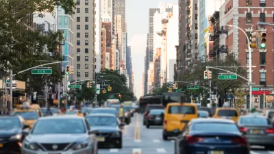
San Francisco residents will get their first peek today at an inventive Internet-based tool that lets them track their personal carbon footprint and gauge how green their neighborhood is compared with the rest of the city.
"The Web site at UrbanEcoMap.org was built by Cisco Systems Inc., engineers using information such as trash collection, recycling rates and hybrid-car ownership to break down energy consumption and other environmental factors byZip code. For example, the map shows that Mayor Gavin Newsom's neighborhood has the 10th lowest level of overall carbon emissions.
The interactive technology won't be available to San Francisco users until mid-May, but residents can check out a video that explains the Web site and how to use it starting today.
"We hear so much about climate change, but the challenge is either so abstract or so big that consumers don't know what they can really do," said Wolfgang Wagener, director of the connected urban development program for Cisco. "The ecomap provides citizens with concrete, tangible access to information and resources with relevance to their daily life."
San Francisco is the first city in the world to take advantage of the ecomap technology. Amsterdam and Seoul will follow sometime this year. The maps will be updated regularly as part of a 12-month pilot project paid for by Cisco, which plans to transform the site to nonprofit status sometime in 2010."
Thanks to Laine Cidlowski
FULL STORY: Net tool tracks carbon footprint by ZIP code

The Neighborhood Carbon Challenge
A neighborhood in Corvallis, Oregon, is the pilot site of a neighborhood-wide "carbon challenge" in which residents try to reduce their carbon footprint.
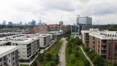
Mapping Climate Impact at the Neighborhood Level
A consumption-based analysis illustrates the differences in average household emissions across census tracts.
Georgia's Efforts to Reduce Carbon Emissions
The state is diversifying its energy sources to reduce carbon emissions by 50% by 2030, in line with federal climate goals.

Planetizen Federal Action Tracker
A weekly monitor of how Trump’s orders and actions are impacting planners and planning in America.

Restaurant Patios Were a Pandemic Win — Why Were They so Hard to Keep?
Social distancing requirements and changes in travel patterns prompted cities to pilot new uses for street and sidewalk space. Then it got complicated.

Map: Where Senate Republicans Want to Sell Your Public Lands
For public land advocates, the Senate Republicans’ proposal to sell millions of acres of public land in the West is “the biggest fight of their careers.”

Orange County, Florida Adopts Largest US “Sprawl Repair” Code
The ‘Orange Code’ seeks to rectify decades of sprawl-inducing, car-oriented development.

Maui's Vacation Rental Debate Turns Ugly
Verbal attacks, misinformation campaigns and fistfights plague a high-stakes debate to convert thousands of vacation rentals into long-term housing.

San Francisco Suspends Traffic Calming Amidst Record Deaths
Citing “a challenging fiscal landscape,” the city will cease the program on the heels of 42 traffic deaths, including 24 pedestrians.
Urban Design for Planners 1: Software Tools
This six-course series explores essential urban design concepts using open source software and equips planners with the tools they need to participate fully in the urban design process.
Planning for Universal Design
Learn the tools for implementing Universal Design in planning regulations.
Heyer Gruel & Associates PA
JM Goldson LLC
Custer County Colorado
City of Camden Redevelopment Agency
City of Astoria
Transportation Research & Education Center (TREC) at Portland State University
Camden Redevelopment Agency
City of Claremont
Municipality of Princeton (NJ)