


2008 saw one of the greatest number of deaths worldwide from natural disasters. Factors contributing to the high number of deaths include extreme weather brought about by climate change, as well as rapid urbanization in vulnerable areas.
"Myanmar's devastating cyclone and central China's earthquake drove up the annual disaster death toll, causing most of the fatalities and making 2008 one of the deadliest years for natural disasters so far this decade, the United Nations said Thursday. At least 235,816 people lost their lives in 321 disasters around the world last year, said the UN International Strategy for Disaster Reduction.
The Intergovernmental Panel on Climate Change has warned that global warming would increase the number of extreme weather events and cause more natural disasters.
Increasing numbers of people living in urban areas increase the risk of deaths when a natural disaster occurs. Environmental degradation and poverty, which exposes poor communities more to natural hazards than better protected wealthier areas, also make it difficult to protect people from disasters."
FULL STORY: 2008 deadly year for natural disasters

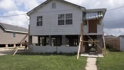
Adapting Building Codes to Natural Disasters Saves Billions
New research shows that modern building codes have prevented around $27 billion in damage from natural disasters between 2000 and 2016, yet many cities still operate under decades-old regulations.
The Compounding Dangers of the Virus and Natural Disasters
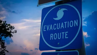
As Hurricane Laura intensified into a Category 4 storm, public officials had to make decisions about evacuation during a time of sheltering in place. Researchers at Texas A&M University developed a risk index to guide decisionmaking processes.
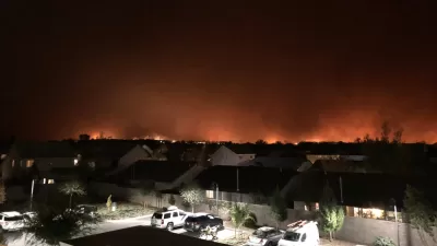
In Paradise, Using Greenbelts to Manage Wildfires
The Camp Fire in California devasted the town of Paradise. As rebuilding progresses, local leaders are looking to protect the town using nature-based fire resilience strategies.

Planetizen Federal Action Tracker
A weekly monitor of how Trump’s orders and actions are impacting planners and planning in America.

Map: Where Senate Republicans Want to Sell Your Public Lands
For public land advocates, the Senate Republicans’ proposal to sell millions of acres of public land in the West is “the biggest fight of their careers.”

Restaurant Patios Were a Pandemic Win — Why Were They so Hard to Keep?
Social distancing requirements and changes in travel patterns prompted cities to pilot new uses for street and sidewalk space. Then it got complicated.

Platform Pilsner: Vancouver Transit Agency Releases... a Beer?
TransLink will receive a portion of every sale of the four-pack.

Toronto Weighs Cheaper Transit, Parking Hikes for Major Events
Special event rates would take effect during large festivals, sports games and concerts to ‘discourage driving, manage congestion and free up space for transit.”

Berlin to Consider Car-Free Zone Larger Than Manhattan
The area bound by the 22-mile Ringbahn would still allow 12 uses of a private automobile per year per person, and several other exemptions.
Urban Design for Planners 1: Software Tools
This six-course series explores essential urban design concepts using open source software and equips planners with the tools they need to participate fully in the urban design process.
Planning for Universal Design
Learn the tools for implementing Universal Design in planning regulations.
Heyer Gruel & Associates PA
JM Goldson LLC
Custer County Colorado
City of Camden Redevelopment Agency
City of Astoria
Transportation Research & Education Center (TREC) at Portland State University
Camden Redevelopment Agency
City of Claremont
Municipality of Princeton (NJ)