Despite a 2002 General Plan update aimed at curbing sprawl in the Central California city of Fresno, repeated zoning amendments have allowed hundreds of developments to push the city's edge farther out into the fringe.


"The City Council has routinely approved developer requests for exceptions to the plan or the city's zoning code, city records show.
Experts say such case-by-case tinkering with development plans only worsens sprawl.
From January 2003 through June 2008, the council approved about 400 zone changes or general plan amendments and denied just four.
The approvals included more than 300 projects around the city's edges -- in most cases allowing more intense development. The Bee analysis excluded zoning changes requested before 2003.
Over those 5 1/2 years, the city let developers convert more than 11 square miles around Fresno's edges for residential, commercial and other types of development. That includes two of the biggest projects approved in recent years: Copper River Ranch subdivision, which added a square mile to Fresno's northern tip, and the Fancher Creek development, which converted almost a square mile on the southeastern side."
FULL STORY: Fresno developments push the boundaries


Can a 'Poster Child for Sprawl' Turn Itself Around?
In a video documentary, Matthew Gordon examines the elements of Fresno's General Plan update, which seeks to reorient the city around a more sustainable urban form, and turn around the fortunes of one of the country's most impoverished cities.
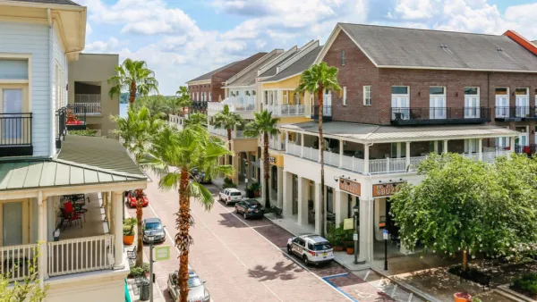
Orange County, Florida Adopts Largest US “Sprawl Repair” Code
The ‘Orange Code’ seeks to rectify decades of sprawl-inducing, car-oriented development.
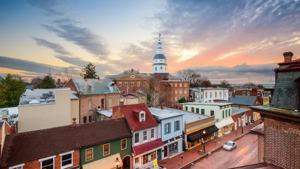
Commentary: We Need a Return to the Adaptability of Traditional Urban Form
How the rigidity of modern suburban development fails to prepare cities for the future.

Planetizen Federal Action Tracker
A weekly monitor of how Trump’s orders and actions are impacting planners and planning in America.

The state-sanctioned urbicide of Austin
People don’t kill cities. Freeways do.

US to reduce Colorado River water deliveries to Mexico
A new Colorado Treaty amendment reduces Mexico’s Colorado River water allocation by 250,000 acre feet.

5 New England states march closer to 800 megawatt wind energy project
Securing federal approval for the project may be complicated under the Trump administration, which has historically been hostile towards domestic wind power.

Baltimore to break ground on $50 million Transit Priority Project
The project will bring faster bus trips, safer streets and better bike connections to Baltimore.

Airbnb launches $250 million 'last-dollar financing' housing accelerator, makes first investment in Austin
The company will put $6.4 million towards affordable housing development in Texas’ capital.

FREE Course: Walkable City 1: Why Walkability?
After describing his path towards focusing on walkability as the essence of good planning, Jeff Speck marches through his five principal reasons for making more walkable places.
Reinventing Malls: Planning Alchemy—Turning Gray Fields Into Gold
The course focuses on the opportunities and imperatives that shape reinvention of mall sites.

Eagle County Government
Harvard University Graduate School of Design
Nashville Planning Department
The Architects Foundation
University of Cincinnati Online
The Pocatello Development Authority
The Urban Renewal Agency of the City of Pocatello
Journal of the American Planning Association