


For the first time in recorded history, the Northwest and the Northeast passages are free enough of ice to be navigable. Shipping companies welcome this effect of global climate change.
"This route is radically shorter than the normal trip through the Suez Canal. From Hamburg to the Japanese port city of Yokohama, for example, the trip using the northern route is just 7,400 nautical miles -- just 40 percent of the 11,500 nautical mile haul through the Suez. Dangerous ice floes normally block the shorter route, but as of a few days ago the Northeast Passage is ice-free according to Christian Melsheimer of the University of Bremen. Scientists at the university use data from the NASA satellite "Aqua" to cobble together up-to-date maps of sea ice."
"Still, it will likely be a while until the first ships sail through the passage. Russian authorities have still not issued the necessary permits allowing shipping companies like Beluga to take advantage of the Arctic shortcut this year. Nevertheless, Beckhusen emphasizes that the Northeast Passage is of strategic importance to her company."
FULL STORY: Northeast and Northwest Passages Both Free of Ice


Baltimore Traffic Suffering From Absence of Key Bridge
The loss of a key route to the Port of Baltimore is causing major delays and long detours on alternate routes.
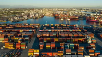
Port of Long Beach Begins Massive Rail Yard Expansion
The project, which will break ground this summer, is expected to dramatically curb emissions from trucking.
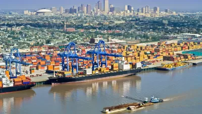
Proposed Legislation Sounds Alarm on Mississippi River Drought
Without concerted restoration efforts, the river’s historically low levels could dramatically impact shipping activities and economic development throughout the region.

Planetizen Federal Action Tracker
A weekly monitor of how Trump’s orders and actions are impacting planners and planning in America.

Map: Where Senate Republicans Want to Sell Your Public Lands
For public land advocates, the Senate Republicans’ proposal to sell millions of acres of public land in the West is “the biggest fight of their careers.”

Restaurant Patios Were a Pandemic Win — Why Were They so Hard to Keep?
Social distancing requirements and changes in travel patterns prompted cities to pilot new uses for street and sidewalk space. Then it got complicated.

Platform Pilsner: Vancouver Transit Agency Releases... a Beer?
TransLink will receive a portion of every sale of the four-pack.

Toronto Weighs Cheaper Transit, Parking Hikes for Major Events
Special event rates would take effect during large festivals, sports games and concerts to ‘discourage driving, manage congestion and free up space for transit.”

Berlin to Consider Car-Free Zone Larger Than Manhattan
The area bound by the 22-mile Ringbahn would still allow 12 uses of a private automobile per year per person, and several other exemptions.
Urban Design for Planners 1: Software Tools
This six-course series explores essential urban design concepts using open source software and equips planners with the tools they need to participate fully in the urban design process.
Planning for Universal Design
Learn the tools for implementing Universal Design in planning regulations.
Heyer Gruel & Associates PA
JM Goldson LLC
Custer County Colorado
City of Camden Redevelopment Agency
City of Astoria
Transportation Research & Education Center (TREC) at Portland State University
Camden Redevelopment Agency
City of Claremont
Municipality of Princeton (NJ)