The proposal includes dedicated bike and bus lanes as well as pedestrian improvements.



The Washington State Department of Transportation (WSDOT) issued a proposed design for State Route 99 through Lynnwood and parts of unincorporated Snohomish County that would include dedicated bike and transit lanes.
As Ryan Packer explains in The Urbanist, the 6.6-mile stretch of the highway, which has seven lanes in some areas, saw 63 crashes resulting in deaths or serious injuries between 2019 and 2023. “During that time, more than 60 people who were walking or biking were hit by drivers, including eight people who lost their lives.”
The proposed upgrades would provide “full bicycle and pedestrian connectivity” with separated bike lanes, sidewalks, and bus lanes. “WSDOT is also recommending a slate of spot improvements at different points along the corridor that would make the highway function more like a local street, including 12 midblock crossings ‘either near bus stops, major destinations or where there is a large distance between intersections.’”
Read the full story: WSDOT Eyes Major Transformation for SR 99 in Snohomish County

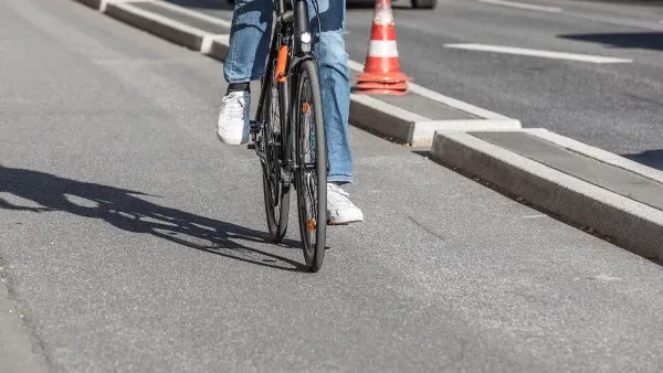
Southeast LA Road Safety Advocates Call for Improved Infrastructure
Streets in southeastern Los Angeles County have a severe lack of protected bike lanes and traffic safety measures, leading to high numbers of fatalities in a community where many residents depend on walking and biking for daily needs.
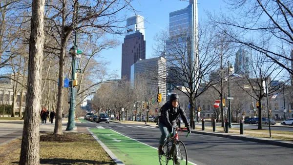
Philly Road Safety Advocates Call for Action From the City
Mayor Parker’s administration is proposing massive cuts to the city’s Vision Zero program while pedestrian and cyclist deaths remain high.
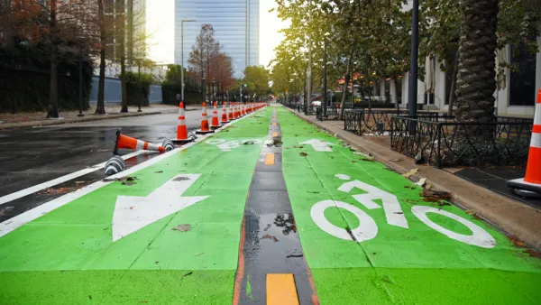
Houston Mayor Pauses Complete Streets Projects
The move raises concerns among road safety advocates who point out that traffic deaths continue to rise.

Planetizen Federal Action Tracker
A weekly monitor of how Trump’s orders and actions are impacting planners and planning in America.

California plans to bury El Niño’s downpour
If the state plays its cards right, it may be able to store a billion acre-feet of El Niño’s water in aquifers.

Chicago breaks ground on $3 billion megadevelopment
The new neighborhood, titled Foundry Park, will one day host 3,700 residences.

Satanic place names
From streams and lakes to valleys and canyons, I mapped more than 1,000 places named after the Devil.

California High-Speed Rail Authority CEO resigns after $600,000 scandal
Under Ian Choudri, the authority used taxpayer dollars to fund first class flights and trips to nightclubs.

Want to study the Missouri River? Soon, you may need unanimous approval from 10 states
Legislation would require 10 governors’ permission to study or build projects moving water outside the basin.

FREE Course: Walkable City 1: Why Walkability?
After describing his path towards focusing on walkability as the essence of good planning, Jeff Speck marches through his five principal reasons for making more walkable places.
Reinventing Malls: Planning Alchemy—Turning Gray Fields Into Gold
The course focuses on the opportunities and imperatives that shape reinvention of mall sites.

City of Rosemead
Rutgers University, Edward J. Bloustein School of Planning and Public Policy
One Hundred Miles
Hunter College, City University of New York (CUNY)
The Architects Foundation
University of Cincinnati Online
City of Cambridge
Montrose County
The Pocatello Development Authority