


Tree-D Fusion, an AI-driven tool developed by MIT and Purdue researchers, generates 3D models of urban trees to help city planners visualize future green spaces, address climate challenges, and enhance urban livability and sustainability.

Tree-D Fusion, a groundbreaking system developed by researchers including the Massachusetts Institute of Technology (MIT)'s Sara Beery and Purdue University's Jae Joong Lee, uses AI to create 3D models of urban trees from 2D images, such as those from Google Street View. This tool leverages species- and environment-specific data to simulate realistic tree growth and predict how urban forests will evolve over time. Beyond visualizing the future of green spaces, the system offers cities a "living digital forest" to monitor environmental stresses and assess tree health, helping urban planners proactively manage tree growth and avoid issues like interference with power lines.
The technology also addresses broader urban challenges, such as combating the heat island effect and improving city livability amid climate change. By mapping intricate shade patterns and envisioning future green spaces, Tree-D Fusion enables planners to strategically cultivate urban forests that can cool cities and mitigate heat buildup. These efforts align with studies showing that access to green spaces significantly impacts public health, life expectancy, and social equity, emphasizing the importance of incorporating urban forestry into city planning.
Looking to the future, the creators of Tree-D Fusion aim to scale the platform globally, using AI insights to promote biodiversity, sustainability, and ecosystem health. Alongside complementary research, such as studies on the number of trees needed to cool cities like Los Angeles, the system exemplifies how technology can merge with ecological science to create greener, more resilient urban environments that benefit both people and the planet.
FULL STORY: Hey Google: Data Scientists Use AI to Plant New Forests in the Cities

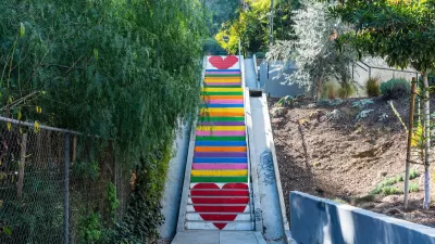
A Framework for Inclusive Tree Planting in Los Angeles
The Los Angeles Urban Forest Equity Collective has developed an equity-centered tree-planting framework and toolkit to address historic underinvestment and mitigate extreme heat in vulnerable neighborhoods.
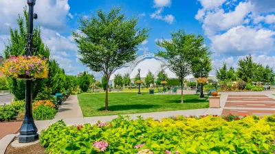
A Plan to Expand Tree Canopy Across Dayton
Dayton is developing an urban forest master plan, using a $2 million grant to expand its tree canopy, address decades of tree loss, and enhance environmental equity across the city.
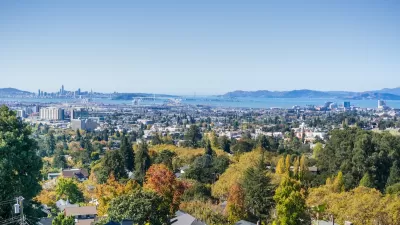
Oakland Adopts Urban Forest Plan to Foster Equity and Environmental Justice
The Oakland City Council has adopted its first Urban Forest Plan, a 50-year roadmap focused on equitable tree care, canopy preservation, and environmental justice to benefit underserved communities.

Planetizen Federal Action Tracker
A weekly monitor of how Trump’s orders and actions are impacting planners and planning in America.

Congressman Proposes Bill to Rename DC Metro “Trump Train”
The Make Autorail Great Again Act would withhold federal funding to the system until the Washington Metropolitan Area Transit Authority (WMATA), rebrands as the Washington Metropolitan Authority for Greater Access (WMAGA).

The Simple Legislative Tool Transforming Vacant Downtowns
In California, Michigan and Georgia, an easy win is bringing dollars — and delight — back to city centers.

The States Losing Rural Delivery Rooms at an Alarming Pace
In some states, as few as 9% of rural hospitals still deliver babies. As a result, rising pre-term births, no adequate pre-term care and "harrowing" close calls are a growing reality.

The Small South Asian Republic Going all in on EVs
Thanks to one simple policy change less than five years ago, 65% of new cars in this Himalayan country are now electric.

DC Backpedals on Bike Lane Protection, Swaps Barriers for Paint
Citing aesthetic concerns, the city is removing the concrete barriers and flexposts that once separated Arizona Avenue cyclists from motor vehicles.
Urban Design for Planners 1: Software Tools
This six-course series explores essential urban design concepts using open source software and equips planners with the tools they need to participate fully in the urban design process.
Planning for Universal Design
Learn the tools for implementing Universal Design in planning regulations.
Smith Gee Studio
City of Charlotte
City of Camden Redevelopment Agency
City of Astoria
Transportation Research & Education Center (TREC) at Portland State University
US High Speed Rail Association
City of Camden Redevelopment Agency
Municipality of Princeton (NJ)