A variety of new tools can help with community engagement and data collection and analysis for park planning projects.



Due to the COVID-19 pandemic, many community meetings shifted online in the past two-plus years. While not ideal, virtual engagement does offer certain benefits, such as making it easier for some members of the public to participate in meetings from the comfort of their homes without having to travel or arrange for childcare. In this article, park planner Clement Lau discusses the use of the latest tools for community engagement, and data collection and analysis, focusing on the following topics:
- Map-based Surveys
- Live Polling
- Live Notetaking
- Use of Data from Fitness Apps
- Use of Cellphone Generated Human Mobility Data
Nothing can replace the connections and opportunities for relationship-building that in-person meetings and other activities provide. However, there are tools that can help make virtual meetings more engaging, interactive and even fun. Also, online surveys can be much more relatable and visually appealing (than just a standard list of questions) when interactive maps, photos and graphics are included. In addition, there are now sources through which accurate mobility data may be acquired to measure park access, usage, and visitorship without conducting labor- and time-intensive studies at individual park sites.
While there are certainly limitations and costs associated with the use of technology and the above tools and data sources, it is becoming increasingly important that park planners add tech-savviness to good old-fashioned customer service in order to better understand and meet the needs of communities.
Read the full story: Tech-Savvy Park Planning
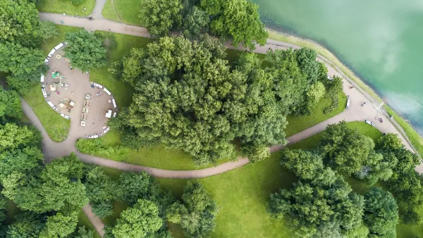
Not a Walk in the Park: What It Really Takes to Build Green Spaces
Park creation can take decades of perseverance to overcome financial, regulatory, and social hurdles, but the end result for the local community is more than worth it.
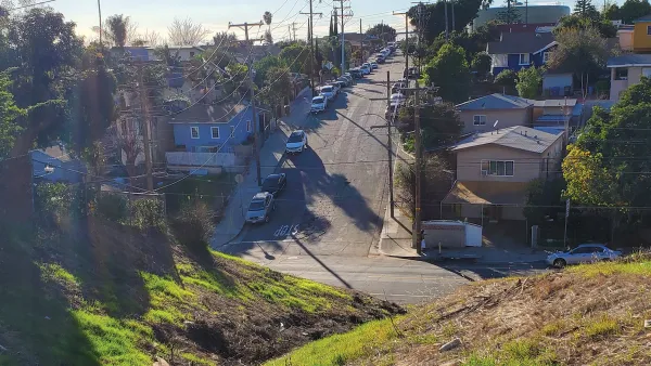
Envisioning a New Park in East Los Angeles
Los Angeles County is working towards transforming underutilized land into a vibrant pocket park in the City Terrace neighborhood of East LA.
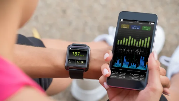
Using Cellphone and Fitness App Data for Park Planning
Data from smartphone apps and fitness trackers are helping planners to better understand park usage patterns and plan for new and improved parks.

Planetizen Federal Action Tracker
A weekly monitor of how Trump’s orders and actions are impacting planners and planning in America.

California plans to bury El Niño’s downpour
If the state plays its cards right, it may be able to store a billion acre-feet of El Niño’s water in aquifers.

Desperate measures: Advocates weigh draining Lake Powell to fill Colorado River
Draining the reservoir could reduce evaporation losses by a couple hundred thousand acre-feet.

US buildings threatened, destroyed by fires set to triple by 2060
Researchers found a high fire risk for socioeconomically vulnerable neighborhoods in the American West.

LA residents may be allowed to paint their own crosswalks
Councilwoman Katy Yaroslavsky put out a motion instructing the Los Angeles Department of Public Transportation to study the feasibility of allowing volunteers to paint crosswalks.

Dallas moves to overhaul its zoning code
The city's zoning reform will allow more multi-family and mixed-use developments.

FREE Course: Walkable City 1: Why Walkability?
After describing his path towards focusing on walkability as the essence of good planning, Jeff Speck marches through his five principal reasons for making more walkable places.
Reinventing Malls: Planning Alchemy—Turning Gray Fields Into Gold
The course focuses on the opportunities and imperatives that shape reinvention of mall sites.

City of Rosemead
Rutgers University, Edward J. Bloustein School of Planning and Public Policy
One Hundred Miles
Hunter College, City University of New York (CUNY)
The Architects Foundation
University of Cincinnati Online
City of Cambridge
Montrose County
The Pocatello Development Authority