The city plans to make conditions safer for bikes and pedestrians on and around the Brooklyn Bridge bike lane, which opened to much fanfare—and some disappointment—last year.


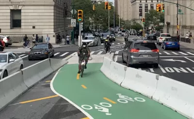
A Streetsblog NYC article details the New York City Department of Transportation’s efforts to improve the highly anticipated Brooklyn Bridge bike lane, which disappointed some bike advocates when it opened last year.
“Currently, the stretch of Centre Street north of Worth Street is what cyclists call ‘The Sluice’ because it resembles an entry path into an abattoir. Both curbside lanes of the roadway are occupied with placarded court and law enforcement cars.” According to the article, “The slaughterhouse conditions continue northbound on Centre Street to Canal Street. But the roadway definitely does not get safe above Canal. Yes, there is less double parking, but frustrated drivers tend to speed above Canal, where Centre opens up to two wide, rarely obstructed lanes.” Due to these conditions, “Since January 2017, there have been 64 reported crashes on just the two-block stretch of Centre Street between Canal and Grand streets, injuring eight cyclists, three pedestrians and two motorists.”
Now, “Work is under way to extend the Brooklyn Bridge protected bike lane on Centre Street north of Worth Street all the way to Kenmare Square and add a downtown-bound protected bike lane on Lafayette Street south of Kenmare Square, which currently has a painted lane.” Additionally, “The city will cut the motor vehicle lanes on Centre Street from two down to one in the section between Worth and Canal, and had previously said it would install pedestrian island[s] at every intersection along the way (some of those have already been blocked out).”
The plan doesn’t address every issue: “The only thing missing from this gap-closing plan is a better solution for cyclists who want to ride between the Brooklyn Bridge bike path and points west, including the hugely popular Hudson River Greenway.”
Read the full story: Eyes on the Street: The Dawn of a Better Brooklyn Bridge Bike Lane!
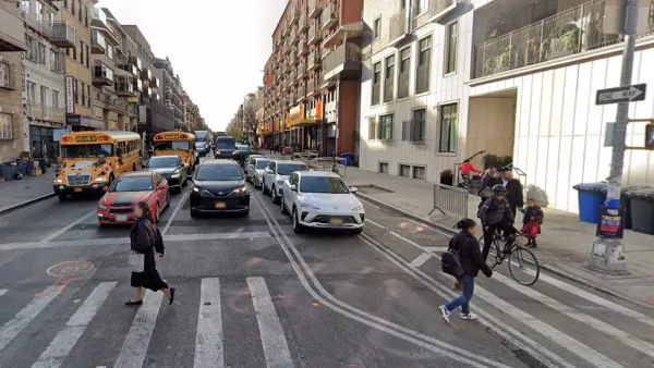
Judge Halts Brooklyn Bike Lane Removal
Lawyers must prove the city was not acting “arbitrarily, capriciously, and illegally” in ordering the hasty removal.
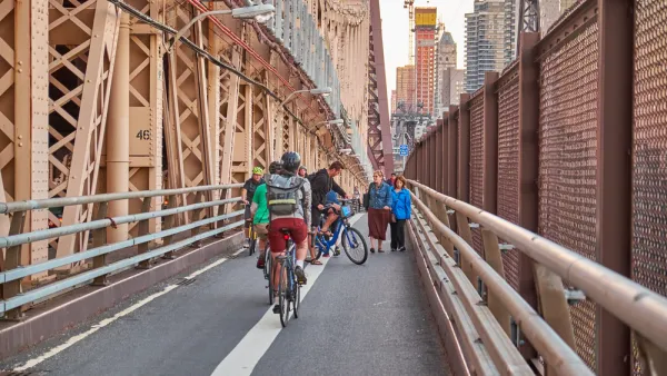
Bike Traffic Up 88 Percent On New Brooklyn Bridge Bike Lane
Bike ridership nearly doubled after New York City installed a new bike lane on the Brooklyn Bridge.
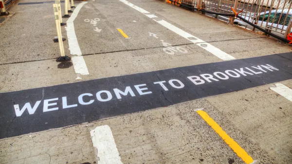
Brooklyn Bridge Bike Path Could Be Wider, Safer
Advocates want to see a safer plan for the proposed two-way path on one of the country's busiest commuter corridors.

Planetizen Federal Action Tracker
A weekly monitor of how Trump’s orders and actions are impacting planners and planning in America.

California plans to bury El Niño’s downpour
If the state plays its cards right, it may be able to store a billion acre-feet of El Niño’s water in aquifers.

Desperate measures: Advocates weigh draining Lake Powell to fill Colorado River
Draining the reservoir could reduce evaporation losses by a couple hundred thousand acre-feet.

In Texas, data centers are swallowing promised parkland
Residents who moved to Taylor, Texas for a rural community now have to contend with three data centers in their backyard.

How a Chicago-sized wind farm beat the odds and powered on
The project spanned five presidential administrations and a standoff with a U.S. military base.

MTA gives itself 30 days to transform pit into basketball court
The site has been under construction since 2022; the city originally estimated it would finish the court in 2024.

FREE Course: Walkable City 1: Why Walkability?
After describing his path towards focusing on walkability as the essence of good planning, Jeff Speck marches through his five principal reasons for making more walkable places.
Reinventing Malls: Planning Alchemy—Turning Gray Fields Into Gold
The course focuses on the opportunities and imperatives that shape reinvention of mall sites.

City of Rosemead
Rutgers University, Edward J. Bloustein School of Planning and Public Policy
One Hundred Miles
Hunter College, City University of New York (CUNY)
The Architects Foundation
University of Cincinnati Online
City of Cambridge
Montrose County
The Pocatello Development Authority