A controversial proposed housing development in Newark exemplifies the struggle between increasing housing supply and protecting vulnerable shoreline communities from flooding.


Although sea levels could rise by at least a foot in the next decade, reports Ezra David Romero, a developer is planning to go ahead with a controversial housing development on the shores of San Francisco Bay.
The project, which would build 469 badly needed housing units in Newark, would be located in a federal flood zone just outside the jurisdiction of the Bay Conservation and Development Commission. Despite the developer's plan to "drive in around 100,000 truckloads of dirt to raise the homes above potential stormwaters" and "line the banks with rocks to protect houses from waves," environmental groups say the measures aren't enough to mitigate anticipated damage.
In addition to the threat posed to the homes themselves, environmentalists argue that building the project would destroy local wetlands that serve as crucial natural flood protection. Thanks to urban development, only 10 percent of marshland in San Francisco Bay remains today. While the city has acknowledged the risk, it is also looking to the county and regional authorities to implement 'area-wide' mitigation projects.
Experts recommend clearer state and regional guidelines for approaching developments in coastal areas. "BCDC’s new regional sea level rise adaptation plan, Bay Adapt, includes a potential fix and is a road map for agencies and cities to create new policies to interpret the effects of climate change better."
Read the full story: The Bay Is Rising. Newark Residents Wonder Why The City Plans to Develop Its Shoreline

Bay Area's First Climate Adaptation Project Could Be a North Bay Highway
State Route 37 is a vital highway connecting four North Bay counties plagued by two unrelated problems: chronic flooding during high tides and traffic congestion. Fixing the problem will set a precedent for Bay Area climate adaptation.
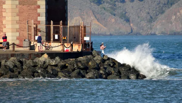
An In-Depth Look at Sea Level Rise in the San Francisco Bay Area
The San Francisco Chronicle gives feature-length, in-depth treatment to the looming dangers of sea level rise, which are more likely to encroach on the built and natural environments of the Bay Area with every passing year.
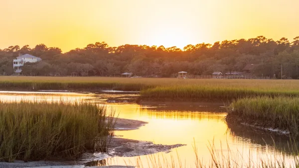
South Carolina Mapping Tool Tracks Marsh Migration From Sea Level Rise
The movement of South Carolina’s coastal salt marshes is an early harbinger of the path of future floods.

Planetizen Federal Action Tracker
A weekly monitor of how Trump’s orders and actions are impacting planners and planning in America.

‘Going backwards:’ Baltimore mayor, students rally against state's transit funding plan
Maryland's proposed six-year plan provides no funding for Baltimore’s BMORE bus program and reduces its road maintenance funding.

Detroit to transform waterfront with $2.2 billion investment
Developers will convert about 18 acres of unused parking lot space into civic spaces.

LA to transform part of water treatment facility into new park
By rebuilding some of the Los Angeles-Glendale Water Reclamation Plant’s infrastructure, the city will free up 18,000 square feet to create a new green space for the public.

San Antonio approves $1.1 billion transit agenda
The agency has also begun construction of its Via Rapid Green line, which will service passengers from the San Antonio International Airport.

Guerilla urbanists’ DIY benches joined by sanctioned seats in Chicago
The group behind the original homemade benches said they will continue installing them across bench-less bus stops in Chicago.

FREE Course: Walkable City 1: Why Walkability?
After describing his path towards focusing on walkability as the essence of good planning, Jeff Speck marches through his five principal reasons for making more walkable places.
Reinventing Malls: Planning Alchemy—Turning Gray Fields Into Gold
The course focuses on the opportunities and imperatives that shape reinvention of mall sites.

(NRCS_Photo_Gallery).jpg)
One Hundred Miles
County of Mendocino
planning NEXT
The Architects Foundation
University of Cincinnati Online
Montrose County
Northern Illinois Transit Authority (NITA)
The Pocatello Development Authority