While resources pour in for urban climate resilience projects, smaller communities often bear the brunt of extreme weather events.


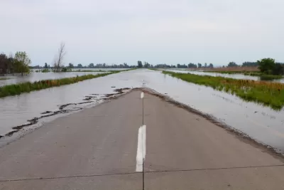
According to Timothy Schuler, climate adaptation planning in the U.S. "has, with some notable exceptions, tended to focus on large metropolitan areas, particularly in the wake of Hurricane Katrina and Superstorm Sandy." But more recently, "Hurricane Ida served as a harsh reminder that the nation’s rural and smaller coastal communities often bear the brunt of the effects of climate change, suffering extensive flooding and other damage, yet lack the resources to rebuild or to implement measures that could prevent future disasters." These areas, Schuler writes, essentially become a "national climate sacrifice zone," overlooked and underresourced as climate change brings increasingly disastrous effects.
Yet "some 60 million people—1 in 5 Americans—live in rural areas," with the total rising to almost 90 million when including towns of 2,500 to 50,000 people. Weak political support, a low tax base, and "lack of access to the kinds of technical assistance design professionals provide to urban resilience projects" leave rural communities behind when it comes to resilience planning.
To mitigate the problem, organizations such as the Coastal Dynamics Design Lab (CDDL) provide cost-free "design and planning services to underserved areas, specifically around issues of disaster recovery and resilience." Projects like this "point to the value of university-affiliated design studios and research hubs, which at times offer smaller communities the only avenue through which they can access climate adaptation planning assistance." Additionally, "while smaller communities can stymie traditional design and planning models, they can serve as important testing grounds for how to work sensitively in other under-resourced places."
Read the full story: In Ida’s wake, America’s rural communities need better protection—cities can’t hog climate adaptation
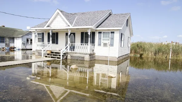
A Different Approach to Managing Climate Displacement
As climate-driven flooding and storms put increasing pressure on coastal communities, some say the piecemeal nature of federal recovery and mitigation efforts aren’t cutting it.
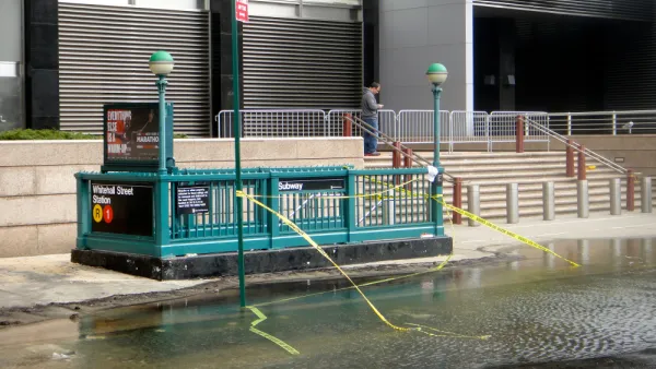
How Extreme Weather Threatens Transit Systems
As weather events become more intense and unpredictable, transit agencies must take steps to protect their aging infrastructure from flooding, storms, and extreme heat.
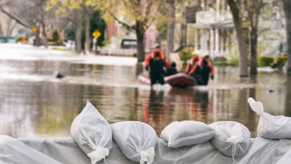
Infrastructure Must Catch Up With Climate Change
The worsening effects of extreme weather events are accelerating the deterioration of critical infrastructure, leaving communities more vulnerable.

Planetizen Federal Action Tracker
A weekly monitor of how Trump’s orders and actions are impacting planners and planning in America.

California plans to bury El Niño’s downpour
If the state plays its cards right, it may be able to store a billion acre-feet of El Niño’s water in aquifers.

Desperate measures: Advocates weigh draining Lake Powell to fill Colorado River
Draining the reservoir could reduce evaporation losses by a couple hundred thousand acre-feet.

Mamdani’s pied-à-terre tax survives legal challenge
A panel of judges found that the plaintiffs failed to demonstrate injury as a result of New York City's implementation of the tax.

Eastern Nebraska is running out of electricity
Data centers and electrification are straining eastern Nebraska’s grid, throttling economic development.

Seattle passes record-breaking transit services expansion
Proposition 1 will double the city’s transit tax to add 95,000 more bus trips and preserve 180,000 bus trips annually.

FREE Course: Walkable City 1: Why Walkability?
After describing his path towards focusing on walkability as the essence of good planning, Jeff Speck marches through his five principal reasons for making more walkable places.
Reinventing Malls: Planning Alchemy—Turning Gray Fields Into Gold
The course focuses on the opportunities and imperatives that shape reinvention of mall sites.

City of Rosemead
Rutgers University, Edward J. Bloustein School of Planning and Public Policy
One Hundred Miles
University of Michigan School for Environment and Sustainability (SEAS)
Hunter College, City University of New York (CUNY)
The Architects Foundation
City of Cambridge
Montrose County
The Pocatello Development Authority