


An analysis of areas designated as "low traffic neighborhoods" shows a decrease in vehicle ownership rates, a promising sign for the traffic-choked metropolis.

Inspired by the Netherlands' famously bike-friendly urban infrastructure, London's Mini-Hollands program funded Dutch-style improvements in three outer London boroughs. With London consistently ranking in the top ten most congested cities in the world, city leaders hope to emulate their continental neighbors and reduce the need for private cars in and around the city.
The program introduces traffic calming interventions, sometimes removing vehicle traffic from neighborhoods altogether. It also promotes improved bicycle and pedestrian infrastructure that encourages active transportation and keeps residents safe. The goal of the initiative is to encourage a shift from cars to bikes for short trips and reduce vehicle travel within neighborhoods.
A recent analysis of vehicle registration data examined whether the interventions had a measurable effect on vehicle ownership in London's outer boroughs. The findings show that car ownership fell at much higher rates in the areas designated as "low traffic neighborhoods" or LTNs, with vehicle ownership continuing to decline as the program went on. Other active transportation improvements had a smaller effect on vehicle ownership, but areas that received them still reduced their car ownership at higher-than-average rates. The study's conclusions indicate that LTN interventions contribute significantly to a mode shift away from private cars.

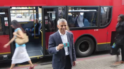
London Doubles Down on Vehicle Restrictions
A plan to completely overhaul the streets of London will require a "monumental" effort by all residents of the city, according to the mayor of London.
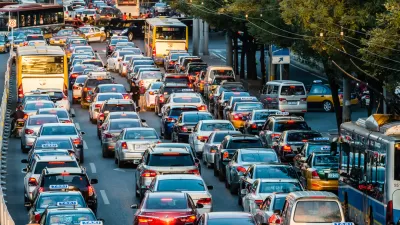
Cities Have Tried to Rein in Cars, and the Results Have Been Mixed
Vehicle pollution is making cities around the world unlivable. Some cities have taken steps to curb auto use and emissions, with varying levels of success.
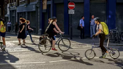
Bike Lanes Don't Cause Congestion
Research from Europe shows bike infrastructure doesn't add to urban traffic and can shift mode share from cars to bikes and reduce the need for solo car trips.

Maui's Vacation Rental Debate Turns Ugly
Verbal attacks, misinformation campaigns and fistfights plague a high-stakes debate to convert thousands of vacation rentals into long-term housing.

Planetizen Federal Action Tracker
A weekly monitor of how Trump’s orders and actions are impacting planners and planning in America.

In Urban Planning, AI Prompting Could be the New Design Thinking
Creativity has long been key to great urban design. What if we see AI as our new creative partner?

Florida Seniors Face Rising Homelessness Risk
High housing costs are pushing more seniors, many of them on a fixed income, into homelessness.

Massachusetts Budget Helps Close MBTA Budget Gap
The budget signed by Gov. Maura Healey includes $470 million in MBTA funding for the next fiscal year.

Milwaukee Launches Vision Zero Plan
Seven years after the city signed its Complete Streets Policy, the city is doubling down on its efforts to eliminate traffic deaths.
Urban Design for Planners 1: Software Tools
This six-course series explores essential urban design concepts using open source software and equips planners with the tools they need to participate fully in the urban design process.
Planning for Universal Design
Learn the tools for implementing Universal Design in planning regulations.
Gallatin County Department of Planning & Community Development
Heyer Gruel & Associates PA
JM Goldson LLC
City of Camden Redevelopment Agency
City of Astoria
Transportation Research & Education Center (TREC) at Portland State University
Jefferson Parish Government
Camden Redevelopment Agency
City of Claremont