


The new slow streets program in Dallas uses community input to create locations for slow streets, each designed to encourage physical activity while maintaining safe distance.
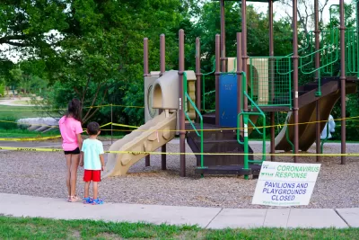
"If you would like to shut down your street to make it safer and to give you and your neighbors a [sic] some additional public recreation space, all you have to do is ask," reports Peter Simek.
"The city of Dallas has partnered with Better Block, Bike DFW, Amanda Popken Development, and a Coalition for a New Dallas (yes, that coalition) to launch the Dallas Slow Streets pilot program," explains Simek. "The initial program is open to 10 streets in 10 Dallas neighborhoods, and they will be chosen on a first-come, first-served basis. To be considered you have to prove that you have the support of 25 percent of your neighbors. "
The pilot program took some time in developing. A Dallas Morning News editorial, for instance, called on the city to increase the ratio of neighborhood support to 50 percent. Simek also notes that a proposal earlier in the pandemic to close Seventh St. in Oak Cliff to automobile traffic created controversy online.
FULL STORY: You Can Now Ask the City To Shut Down Your Street

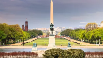
Slow Streets Are Coming to D.C.
Seven streets in Washington, D.C. will have speed limit reduced to 15 miles per hour following a District-wide 20 miles per hour local road speed limit set at the end of May.
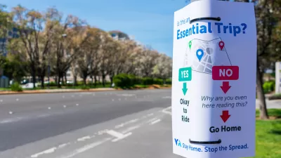
Did the CDC Toll the Death Knell for Public Transit?
It's official—the nation's leading public health agency would prefer that Americans drive alone to work to reduce exposure to the coronavirus. New CDC guidance call for government to subsidize drive-alone and single ride-share commutes.
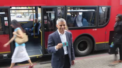
London Doubles Down on Vehicle Restrictions
A plan to completely overhaul the streets of London will require a "monumental" effort by all residents of the city, according to the mayor of London.

Montreal Mall to Become 6,000 Housing Units
Place Versailles will be transformed into a mixed-use complex over the next 25 years.

Planetizen Federal Action Tracker
A weekly monitor of how Trump’s orders and actions are impacting planners and planning in America.

Four Reasons Urban Planners Can’t Ignore AI
It’s no longer a question of whether AI will shape planning, but how. That how is up to us.

Bend, Deschutes County Move to Restrict Major Homeless Encampment
City and county officials are closing off portions of an area known as Juniper Ridge where many unhoused residents find shelter, hoping to direct people to housing and supportive services.

High Housing Costs Driving Down Transit Ridership in LA
When neighborhoods gentrify and displace lower-income residents, transit ridership suffers, new research shows.

Iowa Legalizes Accessory Dwelling Units
A new law will allow property owners to build ADUs on single-family lots starting on July 1.
Urban Design for Planners 1: Software Tools
This six-course series explores essential urban design concepts using open source software and equips planners with the tools they need to participate fully in the urban design process.
Planning for Universal Design
Learn the tools for implementing Universal Design in planning regulations.
City of Mt Shasta
City of Camden Redevelopment Agency
City of Astoria
Transportation Research & Education Center (TREC) at Portland State University
City of Camden Redevelopment Agency
Municipality of Princeton (NJ)
Regional Transportation Commission of Southern Nevada