Toronto’s iconic Yonge Street is heavily used by pedestrians, and, according to this article, it's time for a revamp that acknowledges all of the street's users.


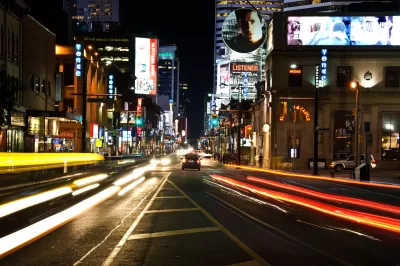
Matt Elliott makes the case for redesigning Yonge Street in Toronto to better accommodate pedestrians. "For a street so full of people — no street in Canada sees more daily pedestrian traffic than downtown Yonge Street — it feels hostile to pedestrians. It’s all narrow sidewalks and backed-up intersections."
As the population of the area is expected to grow in coming years, the street needs a design strategy that will account for increased foot traffic, says Elliott. "At all intersections in the core area, pedestrians make up between 50 per cent and 75 per cent of all traffic, but get less than 25 per cent of the road space."
The city of Toronto is hosting a series of public events, part of a study called yongeTOmorrow, to gather feedback about design options for Yonge Street. Two of the design options would narrow the roadway and increase pedestrian space. The third option, however, would ban most vehicles. "For much of the day, it would turn the entire street over to pedestrians. No cars and no trucks. Just people," notes Elliott.
FULL STORY: Give downtown Yonge St. to pedestrians

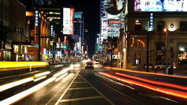
Pedestrian-Friendly Makeover of a Busy Toronto Street Stops Short of the Car-Free Ideal
The yongeTOmorrrow project is heading toward the finish line with widespread support from advocates, but a few want the plan to go one step further.
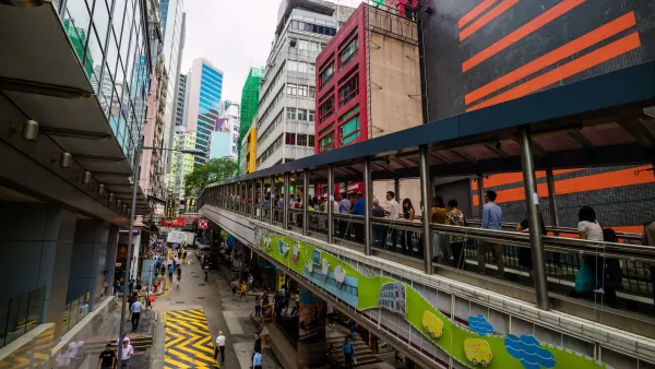
How cars killed the dream of the moving sidewalk
At the turn of the 20th century, moving sidewalks promised efficient, comfortable movement of pedestrians. Then cars took over.
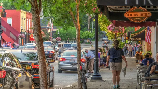
Why Walk Scores Don’t Tell the Whole Story
A popular measure of walkability only measures proximity, not safety or comfort.

Planetizen Federal Action Tracker
A weekly monitor of how Trump’s orders and actions are impacting planners and planning in America.

The state-sanctioned urbicide of Austin
People don’t kill cities. Freeways do.

US to reduce Colorado River water deliveries to Mexico
A new Colorado Treaty amendment reduces Mexico’s Colorado River water allocation by 250,000 acre feet.

5 New England states march closer to 800 megawatt wind energy project
Securing federal approval for the project may be complicated under the Trump administration, which has historically been hostile towards domestic wind power.

Baltimore to break ground on $50 million Transit Priority Project
The project will bring faster bus trips, safer streets and better bike connections to Baltimore.

Airbnb launches $250 million 'last-dollar financing' housing accelerator, makes first investment in Austin
The company will put $6.4 million towards affordable housing development in Texas’ capital.

FREE Course: Walkable City 1: Why Walkability?
After describing his path towards focusing on walkability as the essence of good planning, Jeff Speck marches through his five principal reasons for making more walkable places.
Reinventing Malls: Planning Alchemy—Turning Gray Fields Into Gold
The course focuses on the opportunities and imperatives that shape reinvention of mall sites.

Eagle County Government
Harvard University Graduate School of Design
Nashville Planning Department
The Architects Foundation
University of Cincinnati Online
The Pocatello Development Authority
The Urban Renewal Agency of the City of Pocatello
Journal of the American Planning Association