The Boston waterfront has been booming, but the area is extremely vulnerable to climate change and rising sea levels. Measures to address those risks have come just recently.


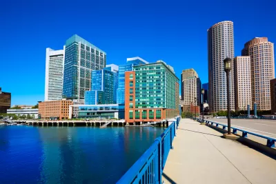
The Seaport District of Boston has seen immense growth in the last decade, with construction of a slew of new office buildings, condominiums, and museums. But the area is prone to flooding, and projections show the problem will only get worse.
Yet developers and the city, eager to see the Seaport District transform, are just now moving to protect buildings from climate change threats. “Developers are elevating ground floors, putting electrical and other critical equipment on higher ones, and investing in salt water-resistant materials and flood barriers to protect garages and other vulnerable areas of buildings. Boston is planning a series of sea walls, berms, and other structures that will act like a barricade against Mother Nature,” write Prashant Gopal and Brian K. Sullivan.
Other cities, including New York and Miami, are also putting flood-protection measures into place. But observers of the Boston waterfront development say that building took precedence over planning for climate change. "No American city has left such a large swath of expensive new oceanfront real estate and infrastructure exposed to the worst the environment has to offer, according to Chuck Watson, owner of Enki Research, which assesses risk for insurers, investors, and governments,” note Gopal and Sullivan.
Read the full story: Boston Built a New Waterfront Just in Time for the Apocalypse

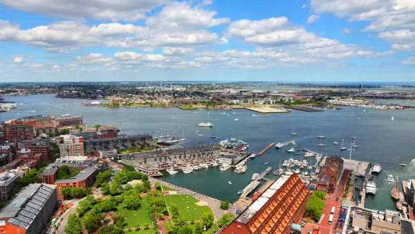
Study To Assess Climate Mitigation Options for East Boston
A grant-funded research team will evaluate solutions for shoring up the area’s flood protection strategies and improving access and service on the Blue Line for local residents.
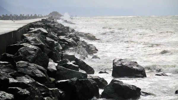
As Sea Levels Rise, Some Cities Will Be Saved While Others Will Be Left Behind
U.S. coastal cities need to prepare for the effects of climate change, but the pot of funding is limited. There’s no way around the fact that there will be winners and there will be losers.
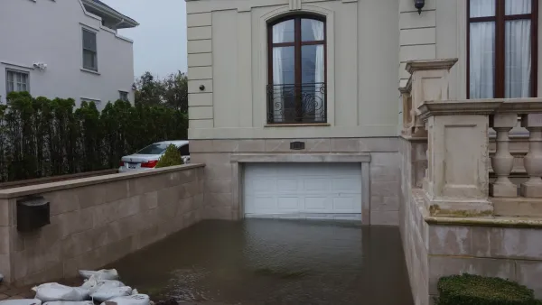
Over 500 NYC ‘Blue Zones’ at Risk of More Destructive Floods
High-risk flood zones cover roughly 20% of the city’s land.

Planetizen Federal Action Tracker
A weekly monitor of how Trump’s orders and actions are impacting planners and planning in America.

California plans to bury El Niño’s downpour
If the state plays its cards right, it may be able to store a billion acre-feet of El Niño’s water in aquifers.

Chicago breaks ground on $3 billion megadevelopment
The new neighborhood, titled Foundry Park, will one day host 3,700 residences.

Satanic Place Names
From streams and lakes to valleys and canyons, I mapped more than 1,000 places named after the Devil.

California High-Speed Rail Authority CEO resigns after $600,000 scandal
Under Ian Choudri, the authority used taxpayer dollars to fund first class flights and trips to nightclubs.

Want to study the Missouri River? Soon, you may need unanimous approval from 10 states
Legislation would require 10 governors’ permission to study or build projects moving water outside the basin.

FREE Course: Walkable City 1: Why Walkability?
After describing his path towards focusing on walkability as the essence of good planning, Jeff Speck marches through his five principal reasons for making more walkable places.
Reinventing Malls: Planning Alchemy—Turning Gray Fields Into Gold
The course focuses on the opportunities and imperatives that shape reinvention of mall sites.

City of Rosemead
Rutgers University, Edward J. Bloustein School of Planning and Public Policy
One Hundred Miles
Hunter College, City University of New York (CUNY)
The Architects Foundation
University of Cincinnati Online
City of Cambridge
Montrose County
The Pocatello Development Authority