Recent Census population estimates tell a story of quick growth in many parts of Arizona, but there are a few places that are quickly shrinking, too.


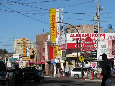
Jen Fifield reports from Arizona on the small towns of Arizona losing population where other parts of the state boom with new population and expand to house the newcomers.
For every Phoenix, there are examples like Douglas, a town that lost 200 people in the most recent count, and 400 people the year prior. "By 2018, the city had lost 9.3% of the population it had in 2010, or nearly one in every 10 people, according to U.S. Census data released recently," report Fifield.
But there are more examples: "Of the 91 cities and towns in the state, 18 have shrunk since the worst of the Great Recession, the data shows."
Most of the shrinking towns are located south of Tucson, between that growing metropolis and the U.S.-Mexico border. Fifield includes infographics and lots of data to debunk some of the common misconceptions about why the populations of these cities are shrinking (e.g., crime) as well as describe some of the realities of the situation (e.g., declining jobs).
FULL STORY: These Arizona cities and towns are shrinking, even as state population booms


Is the built environment partly to blame for population decline?
The way communities are designed could be contributing to lower birth rates.
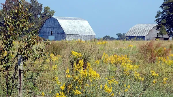
The Hollowing Out of Rural Georgia
America’s rural population is declining for the first time in history. In Georgia, it amounts to a demographic crisis.

Detroit and Michigan on the Upswing
It's been 66 years since the Motor City last grew its population. Census data released last month revealed an increase of nearly 2,000 people last year, nearly half the state's population growth.

Planetizen Federal Action Tracker
A weekly monitor of how Trump’s orders and actions are impacting planners and planning in America.

The state-sanctioned urbicide of Austin
People don’t kill cities. Freeways do.

US to reduce Colorado River water deliveries to Mexico
A new Colorado Treaty amendment reduces Mexico’s Colorado River water allocation by 250,000 acre feet.

5 New England states march closer to 800 megawatt wind energy project
Securing federal approval for the project may be complicated under the Trump administration, which has historically been hostile towards domestic wind power.

Baltimore to break ground on $50 million Transit Priority Project
The project will bring faster bus trips, safer streets and better bike connections to Baltimore.

Airbnb launches $250 million 'last-dollar financing' housing accelerator, makes first investment in Austin
The company will put $6.4 million towards affordable housing development in Texas’ capital.

FREE Course: Walkable City 1: Why Walkability?
After describing his path towards focusing on walkability as the essence of good planning, Jeff Speck marches through his five principal reasons for making more walkable places.
Reinventing Malls: Planning Alchemy—Turning Gray Fields Into Gold
The course focuses on the opportunities and imperatives that shape reinvention of mall sites.

Eagle County Government
Harvard University Graduate School of Design
Nashville Planning Department
The Architects Foundation
University of Cincinnati Online
The Pocatello Development Authority
The Urban Renewal Agency of the City of Pocatello
Journal of the American Planning Association