The city of San Marcos, located halfway between Austin and San Antonio, recently adopted its first transportation plan update since 2004.


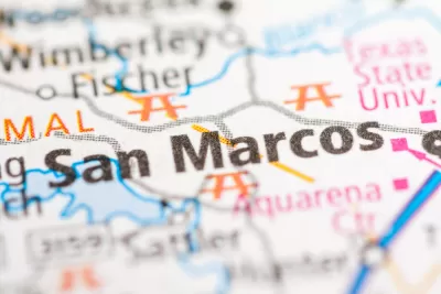
"Confronted with continued population growth, San Marcos City Council adopted an updated transportation master plan Dec. 11 in an effort to ensure the city’s transportation system becomes safer, less congested and environmentally friendly as the city continues to grow," according to an article by Anna Herod.
"The transportation master plan is intended to guide the development of transportation infrastructure in San Marcos to create a compact, sustainable and multimodal transportation network," explains Herrod.
Those goals will be achieved through expanded bike and pedestrian infrastructure, as well as a "complete streets" approach detailed in the plan. The plan also encourages "the use of rain gardens, biofiltration swales and other low-impact drainage facilities within medians and landscaped areas to intercept and naturally treat urban runoff."
FULL STORY: Facing growth, San Marcos new transportation master plan aims for more walking, biking

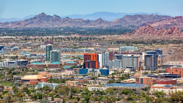
‘Tempe Tomorrow’ Plans for Expected Population Growth
Tempe planners are preparing a General Plan update scheduled for voter approval in March 2024.
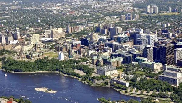
Ottawa’s New Transportation Master Plan Sets 20-Year Planning Priorities
Canada’s capital city recently completed the first step toward adopting a new Transportation Master Plan.
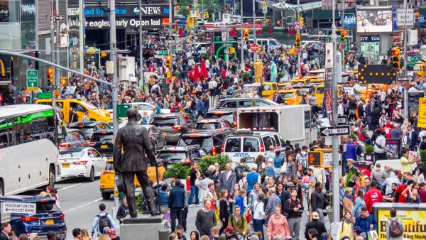
Redesigning Streets for Livability: A Global View
An excerpt from the introduction of the recent book, “Streets For All: 50 Strategies for Shaping Resilient Cities,” edited by Vinayak Bharne and Shyam Khandekar.

Planetizen Federal Action Tracker
A weekly monitor of how Trump’s orders and actions are impacting planners and planning in America.

The state-sanctioned urbicide of Austin
People don’t kill cities. Freeways do.

US to reduce Colorado River water deliveries to Mexico
A new Colorado Treaty amendment reduces Mexico’s Colorado River water allocation by 250,000 acre feet.

Brightline West’s future may rely on $6 billion federal loan
The company has until Nov. 2 to make a $400 million equity investment into its proposed high-speed rail line.

LA Metro’s ultimatum: no extra buses for LA28 if federal funding isn’t imminently secured
If Metro does not provide additional buses, LA28 organizers will have to find a new way to manage Olympic traffic. LA28’s budget does not include a line item for transit.

Colorado’s Largest Data Center Could Rise Next to Homes — Without a Public Hearing
The proposed campus would consume 11 times the power of Denver International Airport; as it has across the country, opposition mounts.

FREE Course: Walkable City 1: Why Walkability?
After describing his path towards focusing on walkability as the essence of good planning, Jeff Speck marches through his five principal reasons for making more walkable places.
Reinventing Malls: Planning Alchemy—Turning Gray Fields Into Gold
The course focuses on the opportunities and imperatives that shape reinvention of mall sites.

Eagle County Government
Harvard University Graduate School of Design
Nashville Planning Department
The Architects Foundation
University of Cincinnati Online
The Pocatello Development Authority
The Urban Renewal Agency of the City of Pocatello
Journal of the American Planning Association