Public opinion favors an at-grade highway, but the state is still considering retaining the elevated section in Allston.


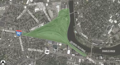
Massachusetts is already set to spend $1 billion to straighten the Massachusetts Turnpike where it curves around former train yards in Allston. The question now is whether an adjacent viaduct should be replaced with an at-grade road. Adam Vaccaro writes, "The decision this time will shape the western gateway to Boston for generations and may result in more public access to a desolate stretch of the Charles long hidden behind Boston University by the highway viaduct."
State Transportation Secretary Stephanie Pollack will make the final call, and MassDOT is currently consulting experts on a deep analysis of the options. Meanwhile, public opinion in the area firmly backs the ground-level plan, which would "[squeeze] the eight-lane highway into a tight section between the rail tracks and Soldiers Field Road and [an] adjacent recreational path known as 'the throat.'"
That option is less expensive, and would more easily accommodate pedestrian infrastructure letting residents access the Charles riverfront. At the same time, Pollack's team is concerned about spatial constraints and the potential that an at-grade highway would be susceptible to future floods. A decision is expected by year's end.
See also: $1 Billion Mass Pike Redesign Offers a Second Chance for Urban Design
Read the full story: Should Mass. Pike remain elevated or come back to earth?

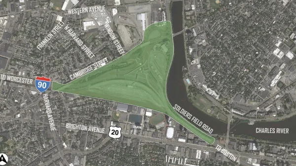
$1 Billion Mass Pike Redesign Offers a Second Chance for Urban Design
MassDOT has a $1 billion opportunity to redesign the Massachusetts Turnpike (I-90) through Allston. One columnist says it's a rare second chance to correct one of history's mistakes along the Charles River.
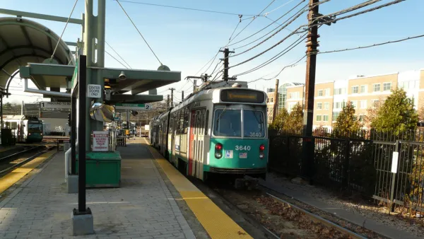
Op-Ed: Postponing Transit in Allston Will Cost Boston
As the state plans a major renovation to the Massachusetts Turnpike, whether an Allston transit hub is built or delayed may determine how effectively the surrounding neighborhood develops.
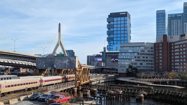
MassDOT breaks ground on nearly century-old rail infrastructure replacement
The project will increase the number of tracks that cross the Charles River and make critical track and signal improvements along the northside corridor.

Planetizen Federal Action Tracker
A weekly monitor of how Trump’s orders and actions are impacting planners and planning in America.

California plans to bury El Niño’s downpour
If the state plays its cards right, it may be able to store a billion acre-feet of El Niño’s water in aquifers.

Chicago breaks ground on $3 billion megadevelopment
The new neighborhood, titled Foundry Park, will one day host 3,700 residences.

Satanic place names
From streams and lakes to valleys and canyons, I mapped more than 1,000 places named after the Devil.

California High-Speed Rail Authority CEO resigns after $600,000 scandal
Under Ian Choudri, the authority used taxpayer dollars to fund first class flights and trips to nightclubs.

Want to study the Missouri River? Soon, you may need unanimous approval from 10 states
Legislation would require 10 governors’ permission to study or build projects moving water outside the basin.

FREE Course: Walkable City 1: Why Walkability?
After describing his path towards focusing on walkability as the essence of good planning, Jeff Speck marches through his five principal reasons for making more walkable places.
Reinventing Malls: Planning Alchemy—Turning Gray Fields Into Gold
The course focuses on the opportunities and imperatives that shape reinvention of mall sites.

City of Rosemead
Rutgers University, Edward J. Bloustein School of Planning and Public Policy
One Hundred Miles
Hunter College, City University of New York (CUNY)
The Architects Foundation
University of Cincinnati Online
City of Cambridge
Montrose County
The Pocatello Development Authority