


Seoul simplified its routes and kept its key bus lanes clear of traffic to revitalize it's transit system.
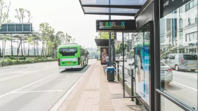
The current ridership woes of cities in the United States are not unique in history, and American cities would do well to learn from the example of Seoul, Andy Furillo writes for Mobility Labs. "In 2002, average bus loads were less than half what they were in 1989. Private operators were going bankrupt, and the government subsidies required to keep remaining bus services running had multiplied by 10 in just three years," Furillo reports.
But rather than cutting transit, the city sought to improve the bus service. Making routes simpler—adding branch systems, regulating bus operators so they couldn't offer redundant routes and investing in a massive public information campaign. The city's mayor, Lee Myung-bak, "personally attended nearly 30 briefings for Seoul’s 16,000 bus drivers to emphasize his plans to protect their rights, increase their wages, and improve their workplace environment, helping ensure the labor community was on board with the reforms," Furillo writes.
Seoul also invested in keeping its bus lanes clear of other traffic. "On some corridors, bus speeds doubled almost immediately after the overhaul, and travel times improved for cars as well," Furillo reports. Unsurprisingly, faster buses led to ridership growth that continued even after the overhaul was a year old.
FULL STORY: What American cities can learn from Seoul’s 2004 bus redesign


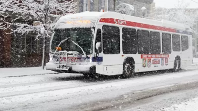
Suburban Detroit Achieves Long-Awaited Bus Service Expansion
Novi and Bloomfield Hills in Southeast Michigan will have transit service for the first time in 28 years.
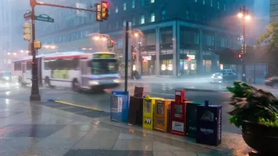
The Bus Revolution Has Been Revised in Philadelphia
The Southeastern Pennsylvania Transportation Authority went back to the drawing board with its Bus Revolution system redesign after an initial round of feedback completed earlier this year.
‘Bus Revolution’ Revised in Philadelphia
The bus system redesign underway in Philadelphia changed direction after riders and local politicians complained about an initial draft plan.

Rethinking Redlining
For decades we have blamed 100-year-old maps for the patterns of spatial racial inequity that persist in American cities today. An esteemed researcher says: we’ve got it all wrong.

Planetizen Federal Action Tracker
A weekly monitor of how Trump’s orders and actions are impacting planners and planning in America.

Walmart Announces Nationwide EV Charging Network
The company plans to install electric car chargers at most of its stores by 2030.

Seattle’s Pike Place Market Leans Into Pedestrian Infrastructure
After decades of debate, the market is testing a car ban in one of its busiest areas and adding walking links to the surrounding neighborhood.

The World’s Longest Light Rail Line is in… Los Angeles?
In a city not known for its public transit, the 48.5-mile A Line is the longest of its kind on the planet.

Quantifying Social Infrastructure
New developments have clear rules for ensuring surrounding roads, water, and sewers can handle new users. Why not do the same for community amenities?
Urban Design for Planners 1: Software Tools
This six-course series explores essential urban design concepts using open source software and equips planners with the tools they need to participate fully in the urban design process.
Planning for Universal Design
Learn the tools for implementing Universal Design in planning regulations.
City of Moorpark
City of Tustin
City of Camden Redevelopment Agency
City of Astoria
Transportation Research & Education Center (TREC) at Portland State University
Regional Transportation Commission of Southern Nevada
Toledo-Lucas County Plan Commissions