A new model of pedestrian routes and activity can help NYC planners make more informed decisions about transportation infrastructure and pedestrian safety improvements.


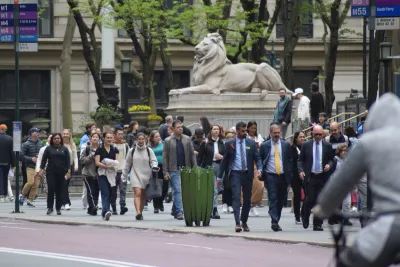
An MIT research group has created the first complete model of pedestrian activity for any U.S. city.
According to an article by Peter Dizikes in MIT News, “The model could help planners decide where to make pedestrian infrastructure and public space investments, and illuminate how development decisions could affect non-motorized travel in the city.”
The researchers used datasets of sidewalks, crosswalks, and footpaths to map activity and identify locations with high foot traffic and high pedestrian hazards. “And, in an advance that could help cities anywhere, the model was used to quantify vehicle crashes involving pedestrians not only as raw totals, but on a per-pedestrian basis.” This can help planners understand exactly where safety improvements are most needed.
According to researcher Rounaq Basu, “Places like Times Square and Herald Square in Manhattan may have numerous crashes, but they have very high pedestrian volumes, and it’s actually relatively safe to walk there.” But “There are other parts of the city, around highway off-ramps and heavy car-infrastructure, including the relatively low-density borough of Staten Island, which turn out to have a disproportionate number of crashes per pedestrian.”
FULL STORY: I’m walking here! A new model maps foot traffic in New York City

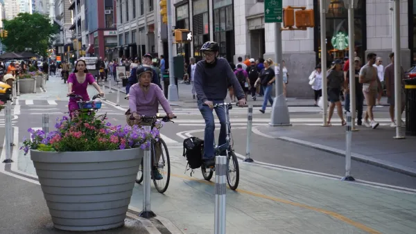
Janette Sadik-Khan has Some Advice for Zohran Mamdani
The former NYC transportation commissioner says Mamdani’s streets plan is ambitious, but not impossible.
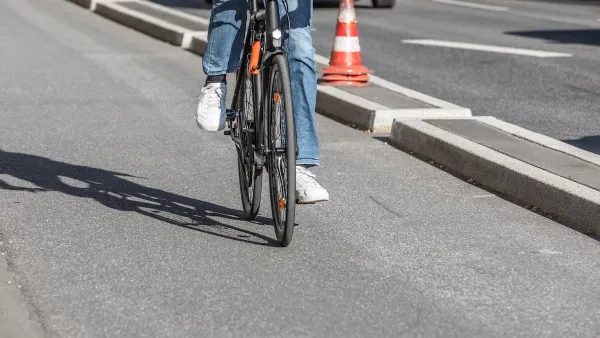
Southeast LA Road Safety Advocates Call for Improved Infrastructure
Streets in southeastern Los Angeles County have a severe lack of protected bike lanes and traffic safety measures, leading to high numbers of fatalities in a community where many residents depend on walking and biking for daily needs.
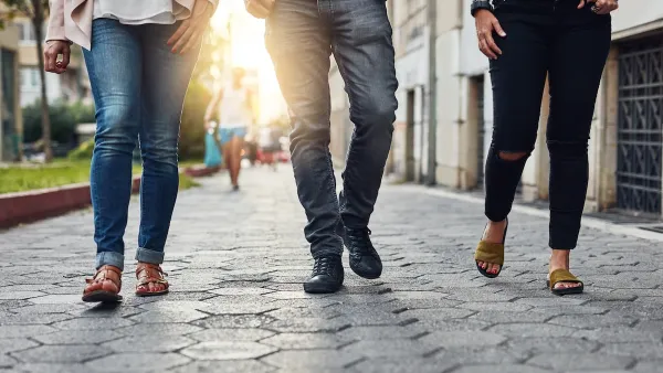
How “Walking Audits” Can Improve Neighborhood Mobility
A simple walk through your community can reveal infrastructure gaps and highlight where cities can make streets safer for pedestrians.

The state-sanctioned urbicide of Austin
People don’t kill cities. Freeways do.

US to reduce Colorado River water deliveries to Mexico
A new Colorado Treaty amendment reduces Mexico’s Colorado River water allocation by 250,000 acre feet.

New Jersey’s second-largest city bans standalone data centers
Jersey City will continue to allow co-location facilities, such as those meant for research institutions that store their own data.

Amtrak not solely to blame for New Jersey commuter rail's unreliability, report finds
A new study from the Garden State Initiative found that NJ Transit’s budget grew 20% across a 4 year period, but reliability declined significantly over the same period.

EPA erases limits on planet-warming pollution from power plants
Under Monday’s plan, power plants would still have some limits on how much mercury, arsenic and other contaminants they can emit.

Phoenix announces new on-demand transit service, more frequent RAPID buses
Both new services will launch in October, and are part of Phoenix's Project Effective Access Solutions for Easing Congestion.

FREE Course: Walkable City 1: Why Walkability?
After describing his path towards focusing on walkability as the essence of good planning, Jeff Speck marches through his five principal reasons for making more walkable places.
Reinventing Malls: Planning Alchemy—Turning Gray Fields Into Gold
The course focuses on the opportunities and imperatives that shape reinvention of mall sites.

Eagle County Government
Harvard University Graduate School of Design
Nashville Planning Department
The Architects Foundation
University of Cincinnati Online
The Pocatello Development Authority
The Urban Renewal Agency of the City of Pocatello
Journal of the American Planning Association