A study reveals that the density of city blocks is a significant factor in communities’ walkability and, subsequently, improved public health outcomes for residents.


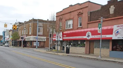
New research affirms the connection between walkable communities and improved health outcomes for residents, reports Emilio Perez Ibarguen in Great Lakes Echo.
Researchers from Michigan State University wanted to understand the more specific factors that impact public health to better inform policymakers. Of the four factors that typically define walkability — size of blocks, proximity to transit stops, variety of business types, and variety of zoning types — “The density of street intersections – corresponding closely to the size of blocks in the area – had the greatest impact on obesity.”
The study also found that factors unrelated to urban design, such as socioeconomic status and race, had more significant impacts on health than walkability.
The article includes information about Michigan cities that are working to improve their walkability and make their streets safer for pedestrians. The small Detroit enclave of Hamtramck, population 28,400, is the most walkable in the state. While its small size is an advantage, the town has also taken actions such as allowing mixed-use buildings. But a lack of transit connectivity to bigger cities and other regions can stifle the potential of small towns, where people remain dependent on cars for transportation outside the city.
Read the full story: Walkable communities associated with better health, study shows

Seattle Creates 4 ‘Low-pollution Neighborhoods’
The pilot program is designed to reduce air pollution and increase access to transit and safe walking and biking infrastructure.

Index Measures Impact of Heat on Pedestrian Activity
When heat and humidity are high, people are more likely to opt for cars when possible.

Take a Walk: Why Step Count Is the Most Valuable Fitness Metric
Step count remains the most valuable fitness metric for longevity and well-being, offering a simple yet powerful way to track daily movement, reduce health risks, and promote active lifestyles without reliance on complex data or technology.

Planetizen Federal Action Tracker
A weekly monitor of how Trump’s orders and actions are impacting planners and planning in America.

California plans to bury El Niño’s downpour
If the state plays its cards right, it may be able to store a billion acre-feet of El Niño’s water in aquifers.

Chicago breaks ground on $3 billion megadevelopment
The new neighborhood, titled Foundry Park, will one day host 3,700 residences.

Satanic Place Names
From streams and lakes to valleys and canyons, I mapped more than 1,000 places named after the Devil.

California High-Speed Rail Authority CEO resigns after $600,000 scandal
Under Ian Choudri, the authority used taxpayer dollars to fund first class flights and trips to nightclubs.

Want to study the Missouri River? Soon, you may need unanimous approval from 10 states
Legislation would require 10 governors’ permission to study or build projects moving water outside the basin.

FREE Course: Walkable City 1: Why Walkability?
After describing his path towards focusing on walkability as the essence of good planning, Jeff Speck marches through his five principal reasons for making more walkable places.
Reinventing Malls: Planning Alchemy—Turning Gray Fields Into Gold
The course focuses on the opportunities and imperatives that shape reinvention of mall sites.


City of Rosemead
Rutgers University, Edward J. Bloustein School of Planning and Public Policy
One Hundred Miles
Hunter College, City University of New York (CUNY)
The Architects Foundation
University of Cincinnati Online
City of Cambridge
Montrose County
The Pocatello Development Authority