


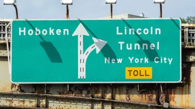
How might cordon pricing impact DC drivers and transit users?

In a post in Greater Greater Washington, D. Taylor Reich outlines the results of a study on how road pricing similar to New York City’s new congestion pricing program could work in Washington, D.C.
After building a prototype software program to model changes in transportation behavior, Reich assessed the potential impact of a $5 charge on cars entering one part of the District. According to Reich’s simulation, which includes reinvesting road pricing revenue into public transit, “This particular combination of road pricing and reinvestment would make travel 10% more convenient for lower-income Washingtonians, have a negligible benefit for the average DC resident, and make travel 2% less convenient for the average resident of the greater metro area.”
The model also indicates there would be a 10 percent drop in driving in D.C. and a three percent drop in the metro area. “This reduction in car travel would bring second-order benefits in emissions, road safety, and noise pollution.”
As Reich notes, “Some people would benefit more, while others would lose out—but on the whole, reinvestment in public transportation would mean a major improvement for lower-income people, especially those in more central areas. Moreover, the reduction in car travel would bring other, indirect benefits for the environment and public health.”
FULL STORY: Road pricing could make transportation in the District more equitable

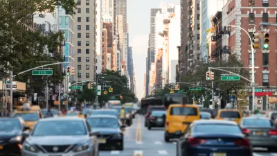
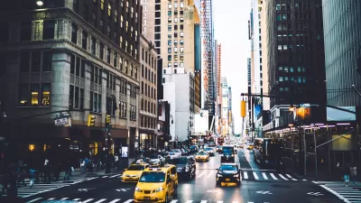
NYC Congestion Pricing Reduced Traffic in its First Week
The program has taken tens of thousands of vehicles off the city’s roads in its first week.
USDOT Revokes Approval for NYC Congestion Pricing
Despite the administration’s stated concern for the “working class,” 85 percent of Manhattan commuters use public transit to enter the city.
Trump’s Election Lends NYC Congestion Pricing Program New Urgency
New York Gov. Hochul has 75 days to reinstate the stalled program or risk losing billions in funding for the city’s aging transportation infrastructure and transit system.

Planetizen Federal Action Tracker
A weekly monitor of how Trump’s orders and actions are impacting planners and planning in America.

Maui's Vacation Rental Debate Turns Ugly
Verbal attacks, misinformation campaigns and fistfights plague a high-stakes debate to convert thousands of vacation rentals into long-term housing.

San Francisco Suspends Traffic Calming Amidst Record Deaths
Citing “a challenging fiscal landscape,” the city will cease the program on the heels of 42 traffic deaths, including 24 pedestrians.

Amtrak Rolls Out New Orleans to Alabama “Mardi Gras” Train
The new service will operate morning and evening departures between Mobile and New Orleans.

The Subversive Car-Free Guide to Trump's Great American Road Trip
Car-free ways to access Chicagoland’s best tourist attractions.

San Antonio and Austin are Fusing Into one Massive Megaregion
The region spanning the two central Texas cities is growing fast, posing challenges for local infrastructure and water supplies.
Urban Design for Planners 1: Software Tools
This six-course series explores essential urban design concepts using open source software and equips planners with the tools they need to participate fully in the urban design process.
Planning for Universal Design
Learn the tools for implementing Universal Design in planning regulations.
Heyer Gruel & Associates PA
JM Goldson LLC
Custer County Colorado
City of Camden Redevelopment Agency
City of Astoria
Transportation Research & Education Center (TREC) at Portland State University
Jefferson Parish Government
Camden Redevelopment Agency
City of Claremont