Most vehicles will be barred from entering a 5.5 square kilometer zone to limit traffic, noise, and pollution.


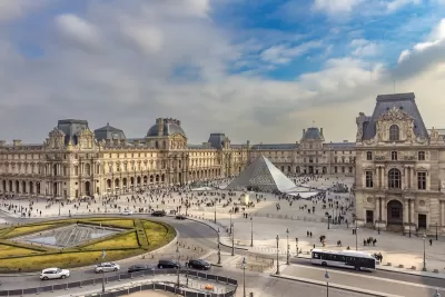
Paris will begin limiting car traffic in the city’s central core, according to an article in Le Monde, per a decree issued by Mayor Anne Hidalgo, who has for years championed a more walkable, bikeable Paris, and co-signed by the city’s police department. “The decree applies to the first, second, third and fourth districts in the capital, an area of some 5.5 square kilometers that includes landmarks such as the Louvre Museum and Tuileries Gardens.”
Vehicle access will be restricted to “emergency vehicles, buses, taxis, people with reduced mobility, motorists living or working there and so-called ‘destination traffic’ including those in the area for a specific reason such as a medical appointment, shopping, or cinema visit.”
The limited traffic zone (ZTL) is expected to lead to as much as a 30 percent decrease in traffic on the busiest roads. “The system will be enforced via a system of proof of residence and online declarations, with an initial grace period as people get used to the new rules, the city hall said.”
Read the full story: Paris set to limit traffic in the city's central core

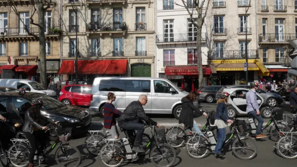
Paris To Ban Most Cars in 'Quiet Zone'
Continuing Mayor Anne Hidalgo's efforts to make Paris more accessible to pedestrians and cyclists, the city plans to implement a 'car-light' zone in the city center that prohibits through traffic.

After Culdesac's success in Tempe, Mesa approves new 1,000-unit 'car-light' development
Culdesac Mesa will take the same transit-oriented approach with a compact, walkable design and access to transit and shared mobility options.
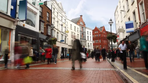
How Walkable ‘Activity Centers’ Can Reduce Driving
Encouraging mixed-use neighborhoods that help reduce vehicle miles driven and put urban amenities within easy walking distance is possible with surprisingly modest policy tweaks.

Planetizen Federal Action Tracker
A weekly monitor of how Trump’s orders and actions are impacting planners and planning in America.

The state-sanctioned urbicide of Austin
People don’t kill cities. Freeways do.

US to reduce Colorado River water deliveries to Mexico
A new Colorado Treaty amendment reduces Mexico’s Colorado River water allocation by 250,000 acre feet.

Nation's most wind-powered state turns to coal as data centers increase energy demand
For the first time in decades, Iowa has increased its generation of coal power.

NYC cools commuters with city's first rain garden above a bus stop
New York City officials say the plants in the rain garden can absorb 16 gallons of rainwater during heavy storms.

Brightline West’s future may rely on $6 billion federal loan
The company has until Nov. 2 to make a $400 million equity investment into its proposed high-speed rail line.

FREE Course: Walkable City 1: Why Walkability?
After describing his path towards focusing on walkability as the essence of good planning, Jeff Speck marches through his five principal reasons for making more walkable places.
Reinventing Malls: Planning Alchemy—Turning Gray Fields Into Gold
The course focuses on the opportunities and imperatives that shape reinvention of mall sites.

Greater Baltimore Committee
Eagle County Government
Harvard University Graduate School of Design
The Architects Foundation
University of Cincinnati Online
The Pocatello Development Authority
The Urban Renewal Agency of the City of Pocatello
Journal of the American Planning Association