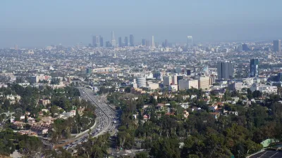
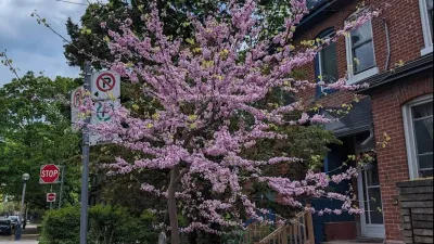
A new study highlights the complex challenge of addressing tree canopy disparities in South L.A., where historical environmental injustices, budget constraints, and competing community priorities hinder efforts to increase equitable tree coverage.

A recent study led by the University of Southern California (USC) and the South L.A. Tree Coalition highlights the complex challenge of increasing tree canopy in South Los Angeles, a region that has long faced environmental injustices. The study, “Rooted Connections,” reveals that while community leaders value trees for their cooling effects and public health benefits, they also face competing priorities like homelessness and gentrification, making the lack of trees more than just an environmental issue. With city budget cuts affecting urban forestry efforts, progress toward equitable tree distribution in underserved areas could be delayed.
As reported by Lila Seidman, the study also emphasizes the historical context behind the lack of trees in South L.A., citing discriminatory planning practices that have led to a disproportionate lack of greenery. Areas like South L.A. have tree canopies as low as 5 percent, compared to wealthier neighborhoods with significantly more coverage. Community leaders interviewed in the study pointed out the mental and physical health impacts of heat and the absence of natural spaces, as well as concerns about tree planting being associated with gentrification, signaling the need for intentional and community-led greening efforts.
Despite limited resources, efforts to improve canopy coverage are underway, with the Urban Forestry Division focusing on an equity-based approach to prioritize tree planting in high-need areas. However, achieving this goal requires more than just planting trees—it will necessitate a commitment to maintenance, partnerships with nonprofit groups, and adequate funding to ensure long-term success in addressing both environmental and social justice issues in South Los Angeles.
FULL STORY: ‘There is no easy fix’: Study reveals attitudes about lack of trees in South L.A.

Maui's Vacation Rental Debate Turns Ugly
Verbal attacks, misinformation campaigns and fistfights plague a high-stakes debate to convert thousands of vacation rentals into long-term housing.

Planetizen Federal Action Tracker
A weekly monitor of how Trump’s orders and actions are impacting planners and planning in America.

In Urban Planning, AI Prompting Could be the New Design Thinking
Creativity has long been key to great urban design. What if we see AI as our new creative partner?

Florida Seniors Face Rising Homelessness Risk
High housing costs are pushing more seniors, many of them on a fixed income, into homelessness.

Massachusetts Budget Helps Close MBTA Budget Gap
The budget signed by Gov. Maura Healey includes $470 million in MBTA funding for the next fiscal year.

Milwaukee Launches Vision Zero Plan
Seven years after the city signed its Complete Streets Policy, the city is doubling down on its efforts to eliminate traffic deaths.
Urban Design for Planners 1: Software Tools
This six-course series explores essential urban design concepts using open source software and equips planners with the tools they need to participate fully in the urban design process.
Planning for Universal Design
Learn the tools for implementing Universal Design in planning regulations.
Gallatin County Department of Planning & Community Development
Heyer Gruel & Associates PA
JM Goldson LLC
City of Camden Redevelopment Agency
City of Astoria
Transportation Research & Education Center (TREC) at Portland State University
Jefferson Parish Government
Camden Redevelopment Agency
City of Claremont


