


The region is seeing higher rates of road deaths in part due to larger vehicles, high speed limits, and inadequate pedestrian infrastructure.

Writing in High Country News, Jonathan Thompson outlines some of the unique causes of traffic deaths in the U.S. West, a region that sees more road fatalities than almost any other in the country besides the South. “While traffic deaths have been increasing nationwide alongside population growth, the West’s highways appear to be getting even deadlier over time, especially for pedestrians,” Thompson writes.
The regional causes of traffic deaths are diverse: “Indigenous people are twice as likely as white people to die on American highways, and the risk is even higher for people who are walking. Many drivers cannot afford larger cars that are safer for their occupants, leaving them at the mercy of ever larger and more costly SUVs. At the same time, low-income neighborhoods are less likely to have sidewalks, adequate street lighting or traffic-calming devices, making pedestrians more vulnerable.”
FULL STORY: The West’s hazardous highways


Proposed Bill Would Direct Funds to Road Safety
The Sarah Debbink Langenkamp Active Transportation Safety Act was spurred by the death of a U.S. diplomat who was killed on her bicycle.
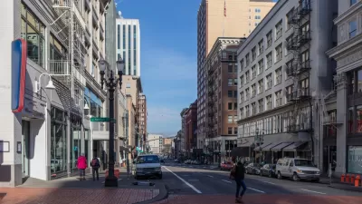
Portland Traffic Deaths Surpass 2022 Number
This year, 69 people have died in traffic crashes in Portland, Oregon, nearly twice as many as in 2018, when the city began its Vision Zero program.
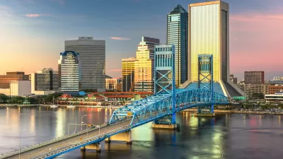
Jacksonville Takes Action on Vision Zero
The city is implementing its first-ever Vision Zero Action Plan in an effort to reduce pedestrian and cyclist deaths and serious injuries.

Maui's Vacation Rental Debate Turns Ugly
Verbal attacks, misinformation campaigns and fistfights plague a high-stakes debate to convert thousands of vacation rentals into long-term housing.

Planetizen Federal Action Tracker
A weekly monitor of how Trump’s orders and actions are impacting planners and planning in America.

In Urban Planning, AI Prompting Could be the New Design Thinking
Creativity has long been key to great urban design. What if we see AI as our new creative partner?

King County Supportive Housing Program Offers Hope for Unhoused Residents
The county is taking a ‘Housing First’ approach that prioritizes getting people into housing, then offering wraparound supportive services.

Researchers Use AI to Get Clearer Picture of US Housing
Analysts are using artificial intelligence to supercharge their research by allowing them to comb through data faster. Though these AI tools can be error prone, they save time and housing researchers are optimistic about the future.

Making Shared Micromobility More Inclusive
Cities and shared mobility system operators can do more to include people with disabilities in planning and operations, per a new report.
Urban Design for Planners 1: Software Tools
This six-course series explores essential urban design concepts using open source software and equips planners with the tools they need to participate fully in the urban design process.
Planning for Universal Design
Learn the tools for implementing Universal Design in planning regulations.
planning NEXT
Appalachian Highlands Housing Partners
Mpact (founded as Rail~Volution)
City of Camden Redevelopment Agency
City of Astoria
City of Portland
City of Laramie